
Latest News and Impact
Read the news, blogs, and stories that highlight the impact of our innovative work to address critical development challenges.
-
Mangroves protect coastal resilience, for shore, for shore. How do we protect them?
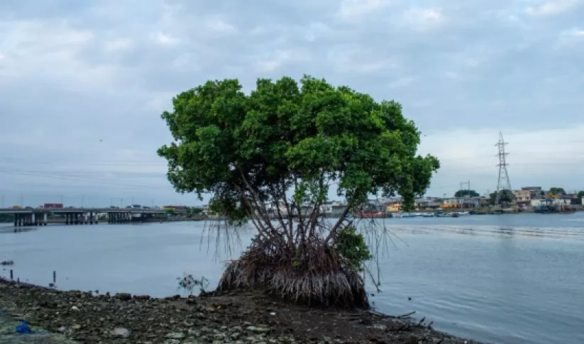
Mangrove forests do a lot of heavy lifting to mitigate the effects of coastal flooding. As NASA turns the spotlight on oceans this Earth Day, learn how the joint NASA-USAID SERVIR program is using Earth satellites to support these unique ecosystems that protect 15% of the world’s coasts.
-
SERVIR celebrates Earth Day 2024
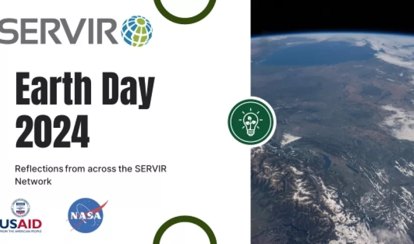
The 54th annual Earth Day is on April 22, 2024. To mark the occasion, SERVIR colleagues across the globe share their reflections on caring for the Earth, climate change and other environmental issues.
-
NASA astronaut Frank Rubio meets with talented youth in El Salvador

NASA astronaut Colonel Frank Rubio met with more than 200 young students at the Gerardo Barrios University in San Miguel, El Salvador. In 2017, Rubio made history as the first astronaut of Salvadoran descent selected by NASA, and again in 2022 when he launched on his first spaceflight.


Where We Work
SERVIR works in more than 50 countries in Africa, Asia, Central and South America. Learn how we work with our partners to make a difference in each region


What We Do
SERVIR integrates NASA’s world class science and data with USAID’s development expertise and network of partners and relationships around the world. SERVIR harnesses the power of satellite data and science collaboration to support healthy, sustainable communities, livelihoods, and environments.
Service Catalog
The SERVIR Global Service Catalog is a searchable collection of our demand-driven geospatial services that use Earth observations and climate data to support decision making and climate resilient development
Explore the Service CatalogService Areas
-
Agriculture & Food Security

SERVIR works with partner countries to strengthen food security and economic growth through sustainable, climate-resilient agriculture. This includes services that estimate crop yields, map field conditions, and analyze potential risks like drought and locust invasions.
-
Air Quality and Health

SERVIR’s services help users track environmental conditions that affect public health. This service area tracks sources of air pollution and affected areas, both for healthier populations and to mitigate climate change.
-
Ecosystem & Carbon Management

SERVIR supports partners in monitoring and sustainable management of forests and other natural resources. SERVIR services provide actionable information to track fires, deforestation, restoration, biodiversity, and report on greenhouse gas inventories.
-
Water Security

SERVIR supports reliable access to water for all. SERVIR services help partner countries monitor water quantity and quality, and promote the sustainable use of surface and groundwater.
-
Weather & Climate Resilience

SERVIR helps partner countries and communities prepare for and manage the impacts from extreme weather, floods, droughts, and landslides. SERVIR provides accessible information in support of early warning systems and management of climate hazards.
Resource Library
Explore our growing collection of use cases, training, guidance, and reports on SERVIR services in our Resource Library.
Visit the Resource Library