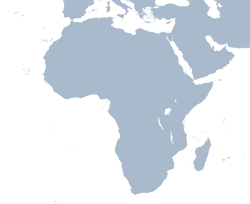
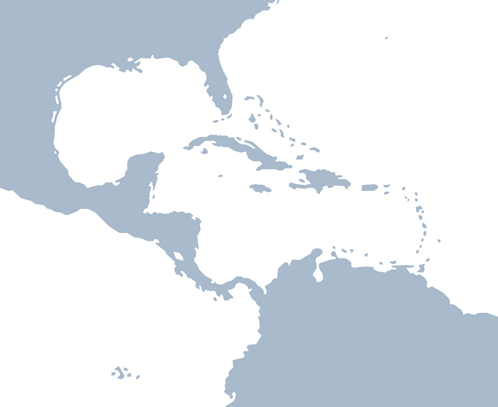
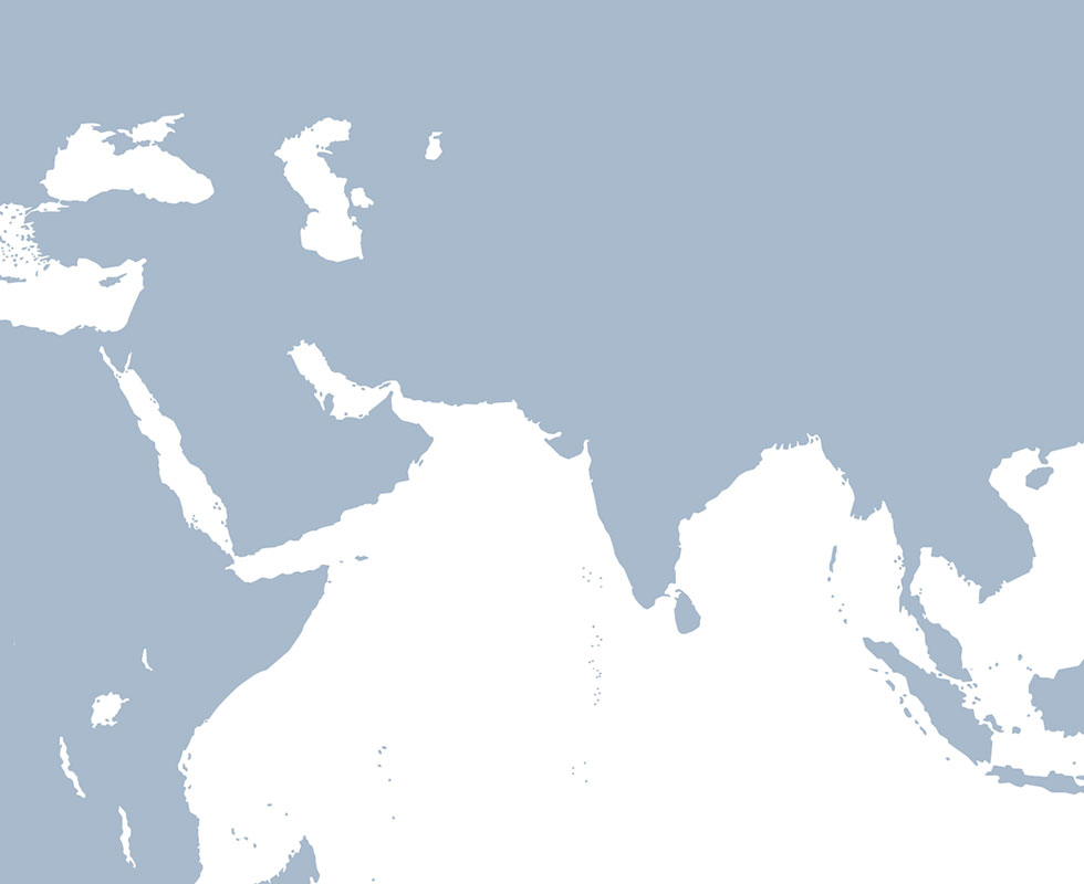
Latest News and Impact
Read the news, blogs, and stories that highlight the impact of our innovative work to address critical development challenges.
-
Helping Nepal Prepare for Monsoons
In Nepal, the combination of mountainous terrain and a monsoon climate means that severe weather can strike quickly. Effective disaster preparation requires high-quality forecasts, and SERVIR is helping partners in Nepal give communities that much needed early warning.
-
Using Machine Learning to Locate Locusts in West Africa
Climate change contributes to favorable breeding grounds for desert locusts, accelerating their reproduction cycles and expanding their habitats, increasing the risk of desert locust plagues. SERVIR’s partners in West Africa are using satellite data to help predict and prevent locust outbreaks to mitigate crop damage and safeguard essential food supplies.
-
Cambodian conservationist customizes geospatial tools to protect forests and wildlife
This is the story of Sonsak Nay and his encounters with SERVIR Southeast Asia and learning to use and adapt geospatial tools and data for his conservation work.
Where We Work
SERVIR works in more than 50 countries in Africa, Asia, Central and South America. Learn how we work with our partners to make a difference in each region
What We Do
SERVIR integrates NASA’s world class science and data with USAID’s development expertise and network of partners and relationships around the world. SERVIR harnesses the power of satellite data and science collaboration to support healthy, sustainable communities, livelihoods, and environments.
Service Catalog
The SERVIR Global Service Catalog is a searchable collection of our demand-driven geospatial services that use Earth observations and climate data to support decision making and climate resilient development
Explore the Service CatalogService Areas
Agriculture and Food Security
SERVIR works with partner countries to strengthen food security and economic growth through sustainable, climate-resilient agriculture. This includes services that estimate crop yields, map field conditions, and analyze potential risks like drought and locust invasions.
Ecosystem and Carbon Management
SERVIR supports partners in monitoring and sustainable management of forests and other natural resources. SERVIR services provide actionable information to track fires, deforestation, restoration, biodiversity, and report on greenhouse gas inventories.
Weather and Climate Resilience
SERVIR helps partner countries and communities prepare for and manage the impacts from extreme weather, floods, droughts, and landslides. SERVIR provides accessible information in support of early warning systems and management of climate hazards.
Water Security
SERVIR supports reliable access to water for all. SERVIR services help partner countries monitor water quantity and quality, and promote the sustainable use of surface and groundwater.
Air Quality and Health
SERVIR’s services help users track environmental conditions that affect public health. This service area tracks sources of air pollution and affected areas, both for healthier populations and to mitigate climate change.
Resource Library
Explore our growing collection of use cases, training, guidance, and reports on SERVIR services in our Resource Library.
Visit the Resource Library