
Using NASA data to fight vector-borne disease where it starts
Good things don’t always come in small packages. Mosquitoes, sand flies, and other insects transmit deadly diseases such as malaria, trypanosomiasis, leishmaniasis, and Rift Valley Fever to millions of humans and animals each year in East Africa alone. SERVIR Applied Sciences Team members Pietro Ceccato and Erika Podest are proving that space is a good vantage point for fighting these tiny menaces.
Ceccato, from Columbia University, and Podest, from the NASA Jet Propulsion Laboratory, lead a SERVIR AST project called “Development and Implementation of Flood Risk Mapping, Water Bodies Monitoring and Climate Information for Disaster Management and Human Health." The project involves development of a tool for forecasting flood risks and assessing vector-borne disease risk in East Africa in support of infectious disease monitoring and outbreak prediction.
They’ve been training decision-makers in Africa to use near real-time images captured by NASA satellites and sensors like TRMM, GPM, MODIS, and Landsat to monitor precipitation, temperature, vegetation, and surface water bodies. Those are the environmental factors that influence the reproduction of many disease-carrying insects. In February 2016, they held a hands-on training workshop in collaboration with the Regional Centre for Mapping of Resources for Development (RCMRD) in Nairobi about mapping open water bodies and their color properties using Landsat imagery. RCMRD is the SERVIR-Eastern and Southern Africa partner organization.
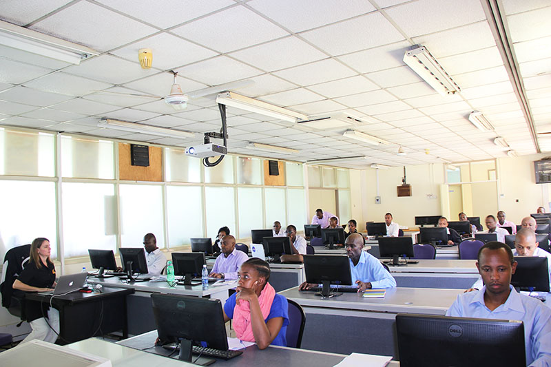 |
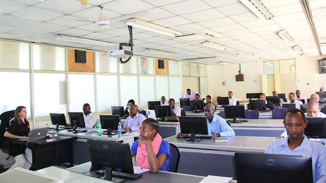
| Workshop attendees learning to map surface water and its color properties |
Mapping surface water and its color properties is critical for identifying areas at risk for vector-borne diseases such as malaria.
“Mosquitos need a range of conditions to breed, and a critical one is the presence of water,” explains Podest. “Also, some mosquitos prefer dirty water while others prefer clean water. That’s why we developed a methodology to not only map the presence of water but whether that water is dirty or clear.”
Landsat’s high resolution (30 meter) and multispectral bands allow accurate characterization of the presence of water and its quality.
“We’ve also used an innovative approach to map open water and its quality through a decision tree based algorithm called Random Forest, which allows us to generate a classification with high accuracy,” notes Podest. “Our initial region of focus has been Ethiopia but the plan is to expand these products to the SERVIR domain in east Africa.“
RCMRD extended workshop invitations to partnering institutions interested in mapping open water bodies. In total, 16 participants were trained, 6 of whom were from institutions such as the Ministry of Water and Irrigation of Kenya, Kenya Water Institute, and the Ministry of Mining’s Department of Resource Surveys and Remote Sensing.
“The training was well conducted with adequate explanation on the processes to be followed…,” says Linda Ashioya of Kenya Water Institute. “I will be able to use this information in several projects that relate to water bodies.”
The workshop also enhanced the technical capacity of 10 RCMRD staff who will be processing and publishing these water body maps and data via the RCMRD Geoportal.
“We learned how to obtain periodic operational outputs [periodic updates of Landsat images] whenever there is an observation by the Landsat sensor, thus enhancing our capability of monitoring the open water bodies,” says RCMRD’s James Wanjohi. “RCMRD has started creating the water body maps using Ceccato’s and Podest’s technique, and RCMRD's stakeholders stand to benefit immensely.”
In fact, RCMRD plans to use these water color products to answer recent requests from the North Rangeland Trust (Kenya) for land degradation analyses and rangeland productivity assessments.
NOTES
Ceccato is affiliated with Columbia University’s International Research Institute for Climate and Society (IRI).