
World Bank and SERVIR working together to map for Natural Capital Accounting in Rwanda
SERVIR-Eastern and Southern Africa (E&SA) at the Regional Centre for Mapping of Resources for Development (RCMRD), together with the government of Rwanda, recently released new 2015 land cover maps for the country, disseminating them during a workshop in March 2017 in Kigali.
 |
| Participants at the March 2017 workshop in Kigali |
Over the past few years, as part of the largest ongoing mapping initiative on the continent of Africa, SERVIR-E&SA/RCMRD has been supporting African countries in greenhouse gas (GHG) emissions inventory by generating Landsat-derived land cover maps. These maps, developed in close consultation with end-users in forest departments and environmental ministries, feed into a broader United Nations Framework Convention on Climate Change (UNFCCC)-US Environmental Protection Agency (EPA) project to quantify the GHG inventory.
This mapping project has enhanced RCMRD’s reputation as a leading institution from which countries and organizations in Africa and beyond can seek advice and capacity development in land cover mapping. As a result, the Rwanda government and the World Bank engaged SERVIR-E&SA/RCMRD to support them in developing the new 2015 land cover maps for Rwanda using data and methods consistent with the previously developed SERVIR-E&SA land cover maps/datasets. This 2015 dataset will support the implementation of Natural Capital Accounting for Rwanda.
 |
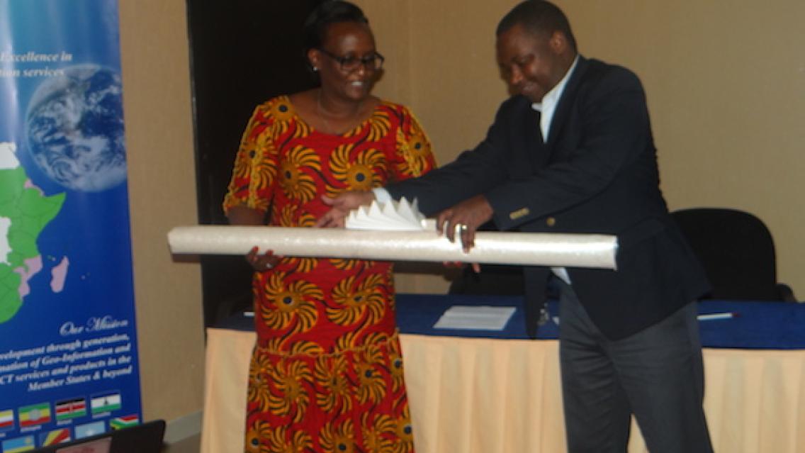
| Emmanuel Nkurinziza, RCMRD Director General, handing over the 2015 Land Cover Products to Mukarubibi Fatina, Permanent Secretary of Rwanda’s Ministry of Natural Resources (MINIRENA) |
The 2015 maps and the previous maps are freely available to visualize and download from RCMRD’s website at http://apps.rcmrd.org/landcoverviewer.
Rwanda is part of the World Bank’s Wealth Accounting and Valuation of Ecosystem Services (WAVES) global partnership, which assists governments in implementing Natural Capital Accounting (NCA) tools and expanding national accounting systems. Natural Capital Accounts for land can assist in planning for sustainable development by providing indicators and trend analysis to track performance. To enhance the analysis and usefulness of the land, water, and ecosystem accounts under NCA, the Government of Rwanda needed the updated land cover maps.
World Bank also asked SERVIR-E&SA/RCMRD to work with and develop the capacity of Rwanda Natural Resources Authority (RNRA) technical staff. To build the capacity of core GIS specialists in the region and to increase awareness and understanding of the techniques and systems used for this type of analysis, a training was held 17-28 October 2016 near Kigali, Rwanda. It was facilitated by two GIS and Remote Sensing Specialists from RCMRD. Participants came from RNRA, Rwanda Environmental Management Authority, Ministry of Agriculture and the University of Rwanda. The training also aimed at technically equipping RNRA staff involved in the production of 2015 land cover maps so that they are able to replicate this type of analysis independently in the future.
 |
| Akagera National Park by Louis Dewame DSC_0649.JPG, CC BY 3.0, https://commons.wikimedia.org/w/index.php?curid=15233256 |
Notes:
Wealth Accounting and the Valuation of Ecosystem Services (WAVES) is a World Bank-led global partnership among several countries and international organizations that aims to promote sustainable development by ensuring that natural resources are mainstreamed in development planning and national economic accounts.