
Protecting Farmers' Livelihoods Using Satellite Imagery
More than half of Kenya’s nearly 50 million citizens work in the agricultural sector, underscoring the important role farming plays in Kenya’s economy and individuals’ livelihoods. Despite the importance of agriculture, up until recently the Government of Kenya had been using outdated cropland maps (from 2000-2001) to conduct food security assessments. To help address this problem, in 2017, SERVIR–Eastern and Southern Africa at the Regional Center for Mapping of Resources for Development (RCMRD) worked with the Kenyan State Department of Agriculture to release updated cropland maps that were co-developed with USAID’s Famine Early Warning Systems Network (FEWS NET) — a leading provider of early warning and analysis on food insecurity.
The completed cropland maps (or crop masks) provide information on the locations of the major and minor crops being grown, and if rain-fed or irrigation-systems are being used. This information allows for rapid identification of changes in crop development, helping the Government of Kenya better plan where to deliver village-level food assistance during droughts, flooding, and other food security crises.
In addition, Kenya’s State Department of Agriculture plans to use these crop masks in their recently established crop insurance program that provides payouts to farmers during incidences of crop failure. To support this initiative, SERVIR–Eastern and Southern Africa assisted the government in developing a methodology for determining harvest yield trends on a local level. This approach was successfully applied in Nakuru County and provided a significant cost savings – a reduction from USD 10,000 to 3,000 (or 70%) – as the government can now make detailed assessments with updated satellite maps rather than counting individual farmers on the ground. The successful use of these crop masks has created a new demand to expand this methodology to 20 additional counties where the crop insurance program operates.
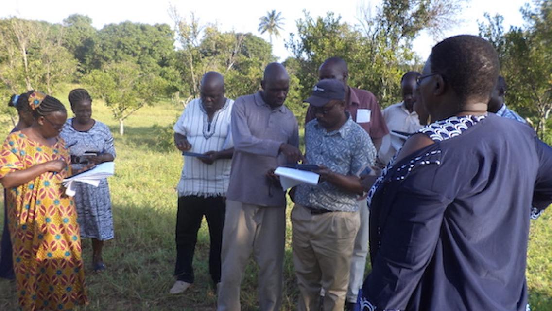
To ensure the long-term availability of updated crop masks, several technical training sessions have been offered to equip key stakeholders in the agricultural sector with the necessary skills for developing updated maps and computing image changes from different periods. After attending one of these sessions, Antony Ndubi, RCMRD’s Remote Sensing Expert, observed that, “Participants can now use the technical knowledge gained and apply it directly to their agricultural field work.”
The Government of Kenya continues to view agriculture as a priority for national economic development. More accurate, timely, and cost-effective crop masks will help the government meet this objective by improving food security assessments to better protect vulnerable communities and to ensure a strong agricultural sector.
Dorah Nesoba of SERVIR-E&SA/RCMRD provided content for this article.
