
Enhancing Protection of Forests Across the Globe Using Synthetic Aperture Radar Satellites
The crucial role forests play in our world cannot be underestimated. All countries rely on forests for the clean air, abundant wood and other resources they provide. To enhance preservation and monitoring of this natural resource, SERVIR and SilvaCarbon launched a series of global workshops this year in West Africa, Eastern and Southern Africa, Hindu-Kush Himalaya, and the Lower Mekong region on Synthetic Aperture Radar (SAR) applications. SERVIR - a joint collaboration between the National Aeronautics and Space Administration (NASA) and the United States Agency for International Development (USAID) - advocates SAR technology due to its ability to provide satellite imagery of the Earth under any weather condition during the day or night.
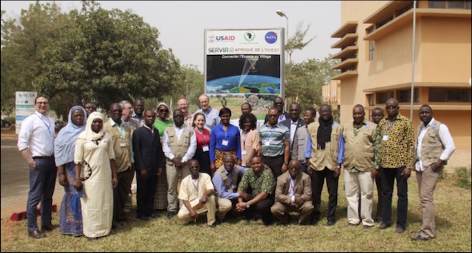 |
| Group photo of SAR Workshop participants at AGRHYMET, Niamey, Niger, January 29 - February 2, 2018 |
Held in partnership with SilvaCarbon - a U.S. government program working to enhance capacity around the world in monitoring and managing forests - the global SAR workshops address the long-recognized need to apply SAR data towards mitigating land use and land cover change challenges (such as through forest mapping/monitoring and biomass estimation) for the international forest management community.
Successful workshops have already been held in West Africa and Hindu-Kush Himalaya, hosted by SERVIR-West Africa at AGRHYMET's Regional Center in Niamey, Niger, and SERVIR-Hindu-Kush Himalaya at the International Centre for Integrated Mountain Development (ICIMOD) in Kathmandu, Nepal, respectively. The SERVIR Science Coordination Office (SCO) collaborated with Dr. Franz Meyer of University of Alaska Fairbanks and Alaska Satellite Facility and Dr. Josef Kellndorfer of Earth Big Data, LLC in leading these workshops.
Occurring this week, March 12 -16, Dr. Paul Siqueira of the University of Massachusetts, who specializes in Environmental Remote Sensing, is leading a similar workshop at SERVIR-Mekong/Asian Disaster Preparedness Center (ADPC) in Bangkok, Thailand.
Additional SAR workshops covering topics on SAR applications to map forest structure and height, above ground biomass estimation, mapping biophysical variables of tropical forests and mangrove identification are scheduled for later this year at other SERVIR hubs, including the Regional Centre for Mapping of Resources for Development (RCMRD) in Nairobi, Kenya from April 16-20; and again, at ICIMOD in Nepal from 30 April - 4 May. Subject matter experts - such as Dr. Paul Siqueira of the University of Massachusetts, Dr. Marc Simard of NASA Jet Propulsion Laboratory (JPL), Hans Andersen of US Forest Service, and Dr. Sassan Saatchi of NASA JPL - will lead the workshops.
In addition, via the support of SERVIR and the AmeriGEOSS initiative by the Group on Earth Observations (GEO), the University of Alabama, Huntsville will be instrumental in coordinating with the University of Alaska to reach the forest management community in Central and South America to provide regional SAR workshops.
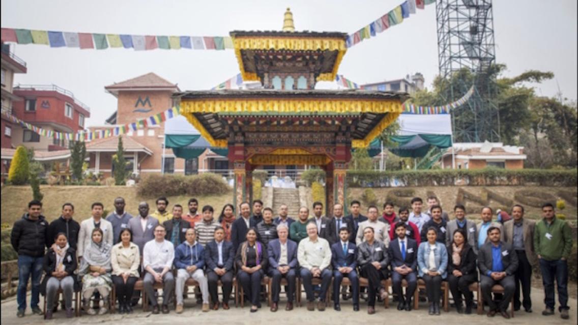
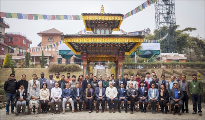 |
| Group photo of SAR Workshop participants at ICIMOD, Kathmandu, Nepal, February 12 - 16, 2018 |
These upcoming workshops will be largely in keeping with the content presented in West Africa and Hindu-Kush Himalaya. Complementing local processes and decision making with SAR datasets, for instance, the workshop at AGRHYMET convened participants from research institutions and regional governments to learn about the basic data processing steps for SAR and the various applications of SAR to monitor change and deforestation while using satellite data from Sentinel 1. Training applications, for example, included analyzing deforestation in Rwanda and identifying charcoal production sites in Ghana. Participants left the week with a new community that they could rely on for their future SAR research.
Similarly, in February, over 40 participants from Afghanistan, Bangladesh, Bhutan, India, Myanmar, Nepal, Pakistan, and other countries attended the second workshop at ICIMOD. To enhance forest monitoring in the region, the training session focused on SAR applications for forest degradation and deforestation detection. Although similar in scope, the curriculum was adapted for this region due to its differing ecosystems and topography from West Africa. The workshop also prepared participants for the upcoming NASA and Indian Space Research Organization (ISRO) SAR (NISAR) mission, which will be launched in 2022, to address global environmental change.
With a total of five regional SAR workshops occurring across the globe, the SERVIR SilvaCarbon initiative addresses the need to apply SAR technology for better protecting forests in developing countries. Across all regional workshops, a train-the-trainer approach is being used, where SERVIR staff educates other stakeholders on SAR skills, thereby supporting neighboring countries to complement their forest monitoring systems with SAR satellite data. To ensure outreach and impact, SERVIR and SilvaCarbon are developing a SAR handbook, co-authored by leading SAR experts, which focuses on methods and guidance for applying SAR datasets for forest monitoring and biomass estimation. The handbook will become publicly available online in Fall of 2018.
-
Estimating Forest Stand Height (FSH) with Synthetic Aperture Radar (SAR)
Synthetic Aperture Radar (SAR) is a useful technology for monitoring forests and estimating biomass since it provides information complementary to optical sensors, such as vegetation structur
-
SAR Handbook
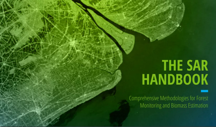
The SAR Handbook: Comprehensive Methodologies for Forest Monitoring and Biomass Estimation is the culmination of a two-year collaboration between NASA SERVIR and SilvaCarbon.

