
SERVIR partners with countries and organizations to support locally led efforts to strengthen climate resilience, food and water security, forest and carbon management, and air quality.
This unique program integrates NASA’s world class scientists and data with USAID’s development expertise and network of partners and relationships around the world. SERVIR harnesses the power of satellite data and science collaboration to support healthy, sustainable communities, livelihoods and environments. Learn more about our principles, goals, and theory of change in the SERVIR Strategic Plan 2020-2025.
SERVIR’s name is derived from Latin, meaning "to serve.” We serve and partner with leading local, national, and regional institutions in Africa, Asia, and Latin America and in partnership with scientists and subject matter experts to co-develop and implement activities called “services.”
How We Do It
Services
Each of SERVIR’s services provide a comprehensive suite of geospatial data, software, and training materials, all of which are tailored to the unique needs of SERVIR’s end users. Each service is collaboratively designed and implemented with the help of partners and users, such as local governments and NGOs, to better support decision-making. To learn more and access our services, see the Service Catalog.
Service Planning
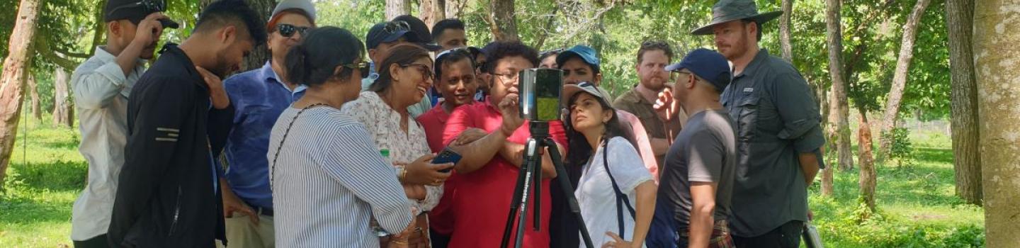
When SERVIR plans new services, it prioritizes long-term dialogue and engagement with communities to ensure that services are sustainable, socially inclusive, and suited to local needs. SERVIR's approach to designing geospatial information services is embodied in the SERVIR Service Planning Toolkit. The toolkit is a resource to help researchers engage with users and collaborators in a broad range of sectors to develop services that fit into existing decision-making processes and meet local needs.
Open Science
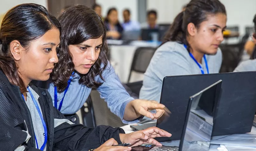
SERVIR strives to make the power of Earth science more accessible and inclusive. All web tools are made publicly available to help promote greater uptake and long-term use of SERVIR’s services. SERVIR proudly supports NASA’s Transform to Open Science (TOPS) initiative, seeking to lower barriers to community participation in science and foster a scientific community that is better prepared to address modern challenges. To learn more about NASA’s commitment to open science, visit TOPS.
Service Areas
-
Agriculture & Food Security

SERVIR works with partner countries to strengthen food security and economic growth through sustainable, climate-resilient agriculture. This includes services that estimate crop yields, map field conditions, and analyze potential risks like drought and locust invasions.
-
Air Quality and Health

SERVIR’s services help users track environmental conditions that affect public health. This service area tracks sources of air pollution and affected areas, both for healthier populations and to mitigate climate change.
-
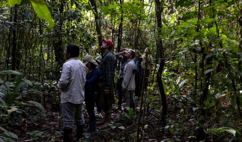
Ecosystem & Carbon Management

SERVIR supports partners in monitoring and sustainable management of forests and other natural resources. SERVIR services provide actionable information to track fires, deforestation, restoration, biodiversity, and report on greenhouse gas inventories.
-
Water Security

SERVIR supports reliable access to water for all. SERVIR services help partner countries monitor water quantity and quality, and promote the sustainable use of surface and groundwater.
-
Weather & Climate Resilience

SERVIR helps partner countries and communities prepare for and manage the impacts from extreme weather, floods, droughts, and landslides. SERVIR provides accessible information in support of early warning systems and management of climate hazards.
Service Catalog
The service catalog is the collection of SERVIR's demand-driven geospatial services that use Earth observations and climate data to support decision making and climate resilient development.
Explore the Service CatalogCross-cutting themes
-
Climate Change
NASA and USAID play important roles in the United States’ efforts to tackle global climate change. SERVIR supports these efforts by fostering international scientific collaboration to better understand and implement solutions to climate change and its impacts.
-
Gender Equality and Social Inclusion
Gender equality, equity, and social inclusion are priorities for the entire SERVIR network. SERVIR’s collaborative approach to engaging communities integrates gender considerations and the needs of underrepresented communities into service design.

