Articles & Stories
Adding new tools for tracking a changing landscape
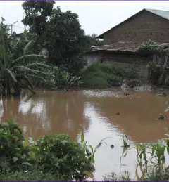
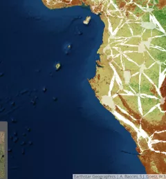
Monitoring land cover change over time is essential to understanding ecosystem health, biodiversity, forest carbon cycling, and much more. Land cover/land use (LCLU) data and maps are critical components for climate monitoring applications such as Greenhouse Gas (GHG) emissions reports.