
Webinar on Remote Sensing for Forest Change Detection
WHAT: In the context of the U.S. Agency for International Development (USAID)-funded SilvaCarbon initiative, the US Forest Service (USFS) is hosting webinars to introduce an online training course on Remote Sensing for Forest Cover Change Detection using freely available, open source software (QGIS and Google Earth Engine), and with the training materials hosted on servirglobal.net. The first webinar will focus on the Eastern, Western, and Southern Africa GIS / remote sensing communities. (A follow-up webinar will focus on GIS / RS communities in Asia.) The online training materials allow anyone interested in learning more about the use of remote sensing tools to map and measure land cover change. The content is best suited for participants that have a basic understanding of GIS, while a general awareness of remote sensing technology and theory would also be beneficial.
WHEN: Thursday 20 April at 3:00pm Niamey local time / 5:00pm Nairobi time.
WHERE: Online - Connect online and via telephone. Connect via Adobe Connect: https://usfs.adobeconnect.com/training-layout/ (you may have to download and install the Adobe Connect Add-in for your Internet browser). Telephone number for connecting to the audio: 1-888-844-9904 (teleconference line); access code: 4016370#.
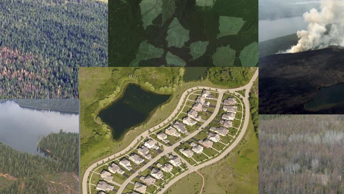
OBJECTIVES: We will highlight new training materials that instruct on the basic principles of how to plan and implement a forest cover change detection analysis. These include hands-on exercises that guide the learner through the complete change detection and accuracy assessment analysis workflow. The material consists of four modules: (1) project planning and documentation, (2) acquiring data with Google Earth Engine, (3) land cover mapping, and (4) mapping and classifying areas of change. Each module includes a presentation of the theory and introduction to the workflow, followed by hands-on exercises.
The course follows the IPCC Good Practice Guidance principles (http://www.ipcc-nggip.iges.or.jp/public/gpglulucf/gpglulucf_files/GPG_LULUCF_FULL.pdf) and is consistent with the methodological advice by the Global Forest Observation Initiative (http://www.gfoi.org/methods-guidance/) for forest monitoring in the context of REDD+ (Reducing Emissions from Deforestation and forest Degradation). In addition to meeting international reporting requirements, following consistent and transparent methodology for generating activity data is important for informing policy decisions and measures. The methods presented can be generalized to track any land cover transition of interest, thus making it applicable for a wide-range of users.
WHO: The material was developed in partnership with USFS International Programs and Geospatial Technology and Applications Center, SilvaCarbon, the US Agency for International Development, Boston Education in Earth Observation Data Analysis at Boston University Department of Earth and Environment, NASA, and the Google Earth Engine Team.
For more information, feel free to contact Dr. Karis Tenneson of the US Forest Service at krtenneson@fs.fed.us.
