
The benefits of healthy ecosystems–including forests and other landscapes–include food, clean water, biodiversity, and climate regulation through carbon management. Globally, deforestation, unsustainable land management, and land degradation threaten these critical ecosystems and contribute to global greenhouse gas emissions.
SERVIR works in collaboration with partners, including Indigenous peoples, to strengthen institutional capacity for sustainable resource management. These collaborations use Earth observations to help partners both mitigate climate change and adapt to its effects.
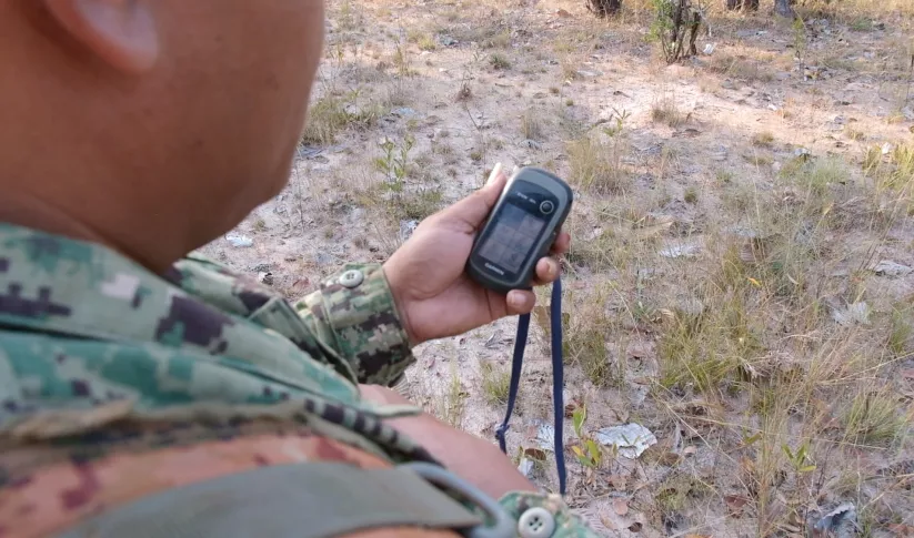
To inform the sustainable management of ecosystems and carbon, SERVIR co-develops and customizes Earth observations-driven services to enhance regional and national land cover monitoring, invasive species mapping and modeling, forest vulnerability assessment, and management. SERVIR services address issues such as fire detection, biodiversity protection, and carbon reporting. This includes the development of near-real time deforestation and fire alert systems. The SERVIR network is also supporting countries with their respective implementation of national Monitoring, Reporting, and Verification (MRV) systems for reducing emissions from deforestation and forest degradation (REDD+). SERVIR collaborations provide the necessary data and information for results-based payments and ecological forecasting. These services are also tailored to meet a growing demand to certify and ensure access to deforestation-free products.
-
Harmonization Of Regional Land Use/Land Cover Classification Systems
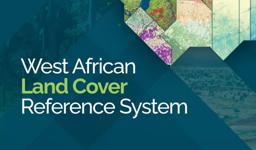
This service is the outcome of a discussion held during the 2018 West Africa Regional Conference on Land Cover Land Use, at which SERVIR West Africa established the West Africa Land Cover Task Force.
-
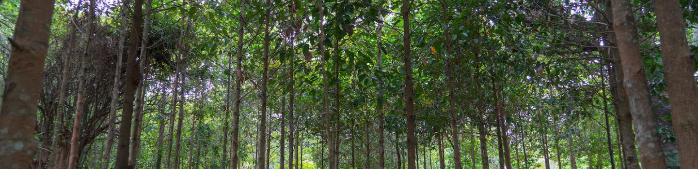
Land Cover Monitoring for Forest Protection and Healthy Ecosystems
Land Cover Monitoring for Forest Protection and Healthy Ecosystems aims to decrease greenhouse gas (GHG) emissions, while supporting biodiversity conservation and augmenting water conservation.
-
Monitoring of Gold Mining in the Peruvian Amazon
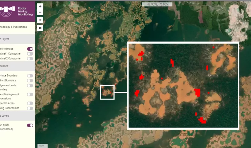
The Monitoring of Gold Mining in the Peruvian Amazon service produces near real-time information on deforestation and mining activity in the southern Peruvian Amazon.
-
Regional Land Cover Monitoring System - Hindu Kush Himalaya
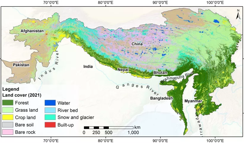
SERVIR-HKH has developed land cover monitoring systems with a modular architecture built on the Google Earth Engine (GEE) computational platform.


-
Mangroves protect coastal resilience, for shore, for shore. How do we protect them?
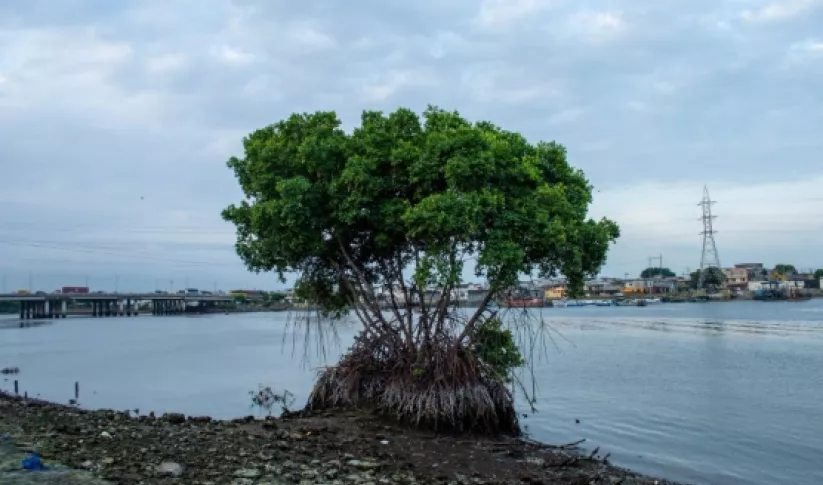
Mangrove forests do a lot of heavy lifting to mitigate the effects of coastal flooding. As NASA turns the spotlight on oceans this Earth Day, learn how the joint NASA-USAID SERVIR program is using Earth satellites to support these unique ecosystems that protect 15% of the world’s coasts.
-
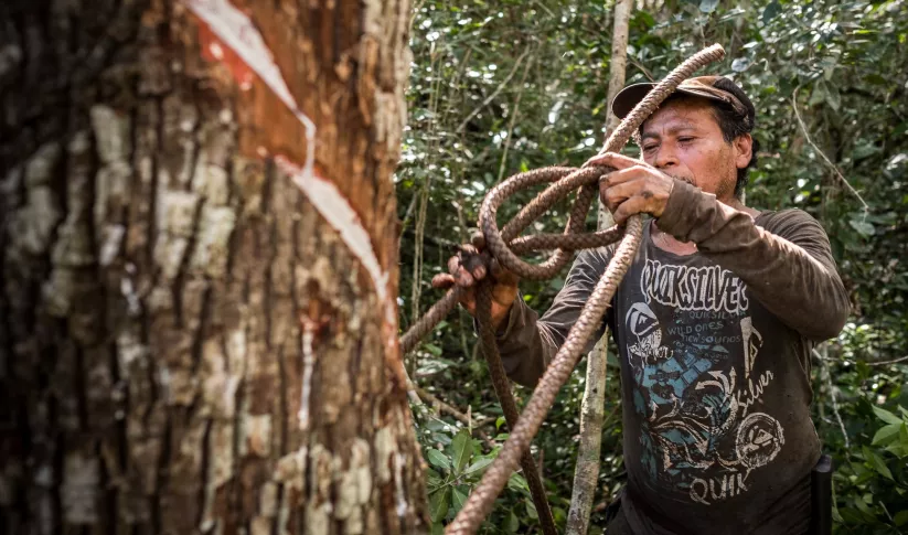
Mapping Common Ground for Farmers and Sustainability in the Amazon
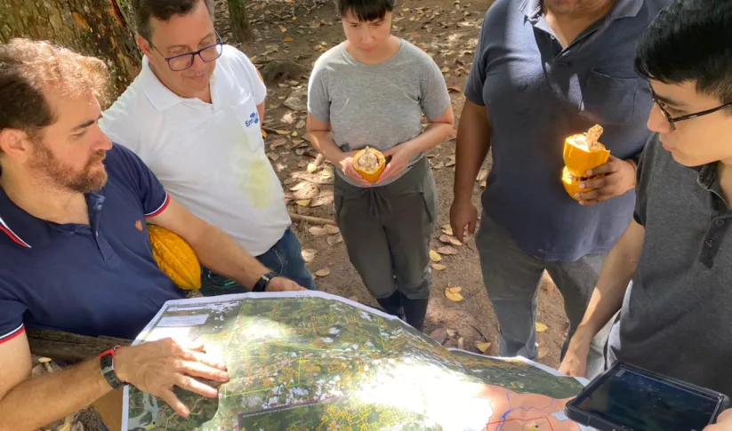
It may seem like farming is the enemy when it comes to preventing deforestation in the Amazon—and with good reason. The expansion of large-scale farming and cattle ranching is a leading cause of deforestation. However, the role of small-scale farming is less understood.
-
Fortifying Forest Fire Forecasting for Nepal
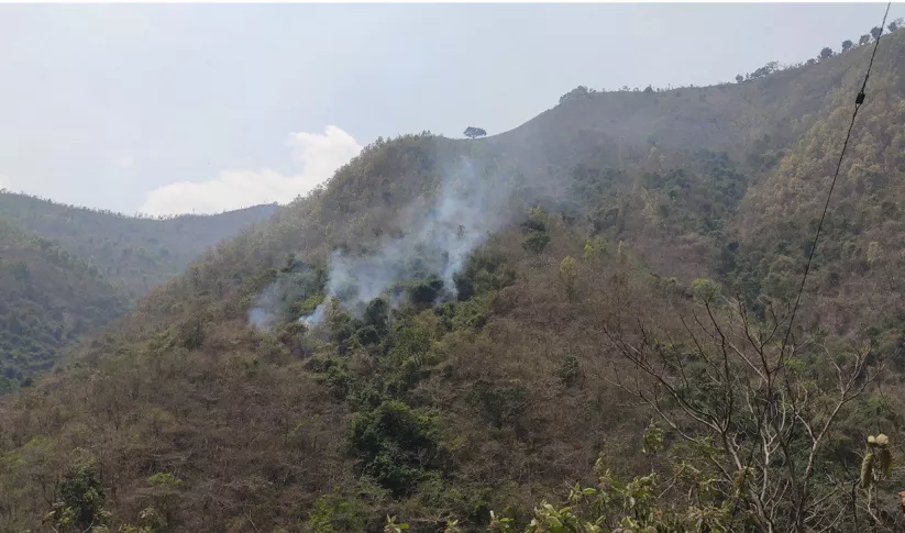
Between January 1st and June 16, 2023, Nepal experienced 118% more forest fires than it had in all of 2022.


-
Use Case: Greening Prey Lang
Greening Prey Lang, a USAID program, used Collect Earth Online (CEO) as part of their efforts to protect critical forestland in Cambodia and improve the lives of the people who live there.
-
Use Case: Nepal Forest Research Training Centre (FRTC)
The FRTC, which is under the jurisdiction of Nepal’s Ministry of Forests and Environment, is the government-sanctioned organization that is responsible for forestry research and survey activities at the national level.
-
Use Case: A Rocha Ghana
A Rocha Ghana (ARG) is an established environmental organization in Ghana that helps communities adapt to their changing natural environments. It currently works in the West Gonja District in northern Ghana where charcoal production is widespread.


