
During the 26th Conference of the Parties of the UN Framework Convention on Climate Change in 2021, the White House announced several international environmental initiatives featuring SERVIR’s work. One such initiative, the President’s Emergency Plan for Adaptation and Resilience (PREPARE), highlighted that, “USAID intends to bolster climate adaptation and resilience in Central America by expanding critical climate information and services to the region through the SERVIR program."
SERVIR will work with Central American regional and local partners in using Earth satellite information and geospatial technologies to better manage and protect natural resources and improve development decision-making. These technologies will help our partners to prepare for and manage regional environmental and climate-related disaster risks.
In that context, NASA is currently developing prototype services for Central America, focusing on the following:
- Forest carbon accounting
- Protected area monitoring and analysis
- Urban vulnerability mapping
- Water resource monitoring
-
Inclusive Climate Action Benefits Everyone: Stories from GeoFem
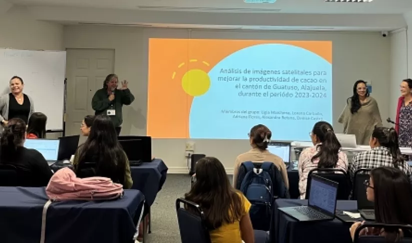
In Costa Rica, the GeoFem workshops create a supportive environment for women to combine their unique knowledge and experiences with Earth science technology. The following stories demonstrate how everyone benefits when women are empowered to use Earth science in community decision-making.
-
GeoFem Workshop in Costa Rica Trains 100+ Women and Girls in Geospatial Technologies
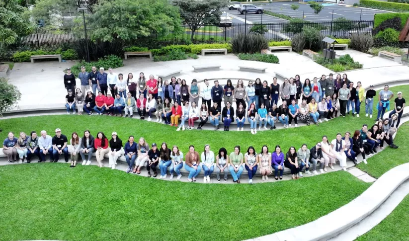
The GeoFem: Women in Geospatial Technologies workshop was hosted and organized by the Inter-American Institute for Cooperation on Agriculture (IICA) and the Central America Aerospace Network (RAC) in San José.
-
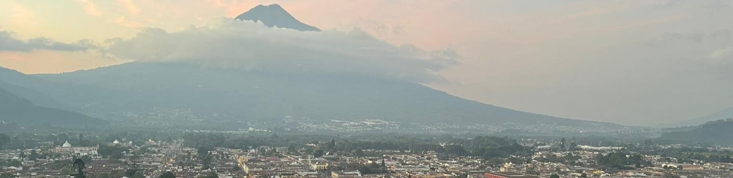
Keeping Guatemala’s Lake Atitlán Crystal Clear
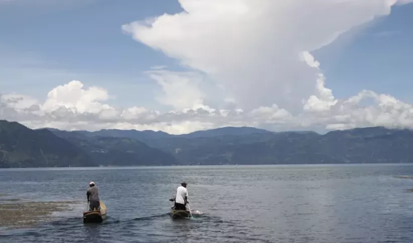
Nestled in between soaring green mountains, Guatemala’s Lake Atitlán is renowned as one of the most beautiful lakes in the world. It has also been under threat by massive blooms of algae clotting its pristine waters. In 2009 and 2015, massive “blooms” of algae threatened to cause severe ecological damage.


