With climate change, the intensity and frequency of hazardous weather and climate events are increasing. Early warning systems are an effective way to minimize casualties and economic damages. However, global and local observing systems often need strengthening to generate timely and accurate forecasts that result in action taken to save lives and livelihoods.
SERVIR focuses on co-creating effective tools and strengthening capacity to integrate forecast information into decision support systems at the local, national, and regional levels. Local expertise and collaboration are essential for ensuring that satellite data is relevant, actionable, and used.
SERVIR works with host country partners to improve the accuracy and lead time of forecasts. This includes analyzing locally and remotely collected weather and climate data to better understand and manage the risk of impacts to socioeconomic disparities, public health, water security, and agriculture. Services include temperature and precipitation forecasts, as well as specialized forecasts for specific hazards and long-range climate outlooks. Examples include short-term risk forecasts for rain-triggered landslides, seasonal drought advisories, and flash flood warnings. In collaboration with partners, this information is disseminated to a range of end-users in support of early action and decision-making, helping to protect lives and livelihoods.
-
Enhancing Anticipatory Actions for Disaster and Climate Resilience
Enhancing Anticipatory Actions for Disaster and Climate Resilience aims to reduce the loss of lives and damage to properties and crops from floods and droughts by improving early warnings using satellite data and geospatial information.
-
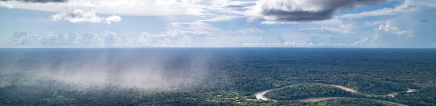
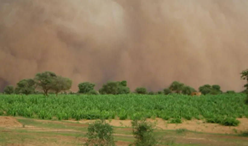
Forecasting Seasonal to Sub-Seasonal Fire and Agricultural Risk from Drought
The Forecasting Seasonal to Sub-seasonal Fire and Agricultural Risk from Drought service provides information for evaluating drought conditions at temporal and spatial resolution to predict fire vulnerability in the Amazon basin.
-
Monitoring Extreme Weather in the Hindu Kush Himalaya
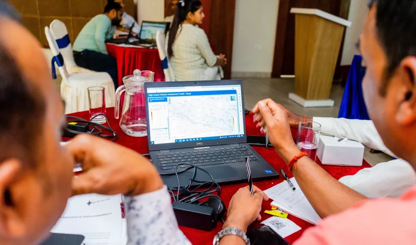
The Monitoring Extreme Weather in the Hindu Kush Himalaya (HKH) service provides a customized numerical weather prediction toolkit to assess high impact convective weather events over the HKH region.
-
Sub-Seasonal to Seasonal Forecasting
This service focuses on the production of seasonal crop-related weather forecasts for improving the quality of products disseminated to end users such as farmers.


-
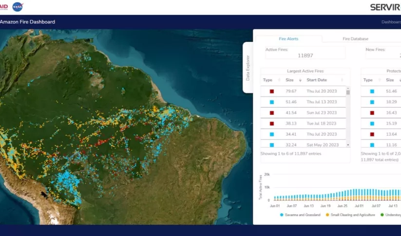
SERVIR Amazon Fire Tracking Tool Revamped Ahead of El Niño
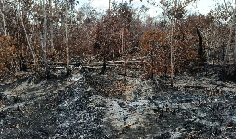
This dry season, communities in the central and northern Amazon face increased fire risk linked to El Niño. With the support of SERVIR, decision-makers can more easily track and respond to these fires.
-
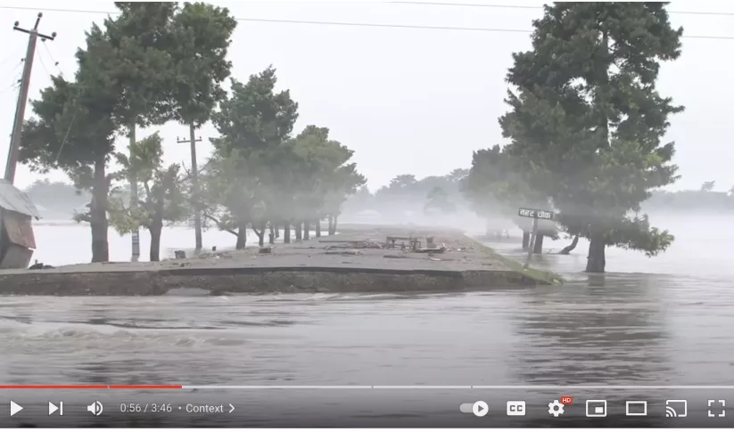
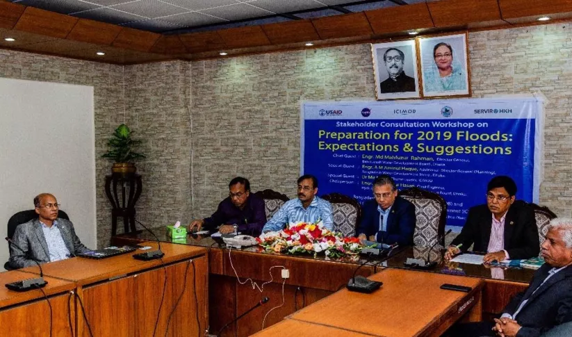
Underpinning flood preparedness in Bangladesh
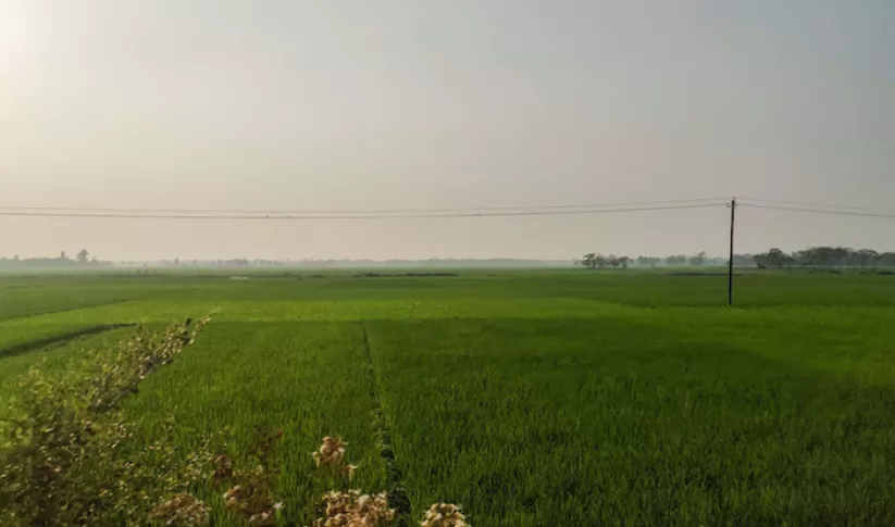
SERVIR-HKH has been helping the FFWC/BWDB build forecasting capabilities through the enhanced use of Earth observation and geospatial information technology.
-
Making Forecasts a Breeze

NASA supports local experts around the world to help their communities access and use weather and climate information.


-
Gender Responsive Climate Action
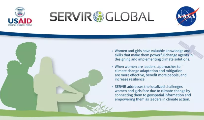
SERVIR builds gender-responsive geospatial services by empowering women and girls as thought leaders in the geospatial and earth sciences so that they can take on leading roles as decision-ma
-
Use Case: Bangladesh Flood Forecasting and Warning Centre (FFWC)
Enhancing Flood Early Warning Services aims to build the resilience of vulnerable communities in the Hindu Kush Himalayan region by increasing flood forecast lead times that are hosted on an interactive web platform.
-
Streamflow Monitoring, Enhancing Flood Early Warning Services, and High Impact Weather Assessment