
SERVIR Southeast Asia (SERVIR SEA) uses publicly available satellite data to address climate change and sustainable development challenges. SERVIR SEA co-develops decision support tools for drought, flood and other natural disaster response; food security; air quality monitoring; and sustainable landscape management.
SERVIR Southeast Asia is an expansion of SERVIR Mekong from the Lower Mekong to the Southeast Asia region. SERVIR Mekong operated from 2014 to 2022.
Implementer: the Asian Disaster Preparedness Center (ADPC) implements SERVIR Southeast Asia. ADPC is a leading international organization working to reduce disaster risk and build climate resilience in Asia and the Pacific.
Key facts:
- The Mekong River Commission uses weather and climate data from SERVIR Southeast Asia’s Mekong Drought and Crop Watch to implement its Drought Management Strategy (2020-2025) to help farmers prepare and respond to droughts.
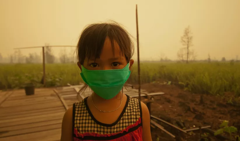
- Citizen Scientists in Thailand leveraged data from SERVIR Southeast Asia’s Mekong Air Quality Explorer to develop a fire hotspot monitoring application called SmokeWatch which was awarded Thailand’s National Innovation Award, 2021.
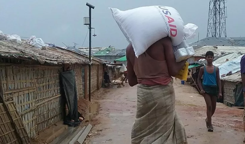
- The World Food Program used SERVIR Southeast Asia’s flood maps derived from the HYDRA Floods decision support tool to provide humanitarian assistance in response to floods in Cambodia.
Countries: Burma (Myanmar), Cambodia, Indonesia, Lao PDR, Philippines, Thailand, and Vietnam.
More about the implementing partner and consortium members:
Established in 1986, ADPC supports countries and communities in Asia and the Pacific in building their Disaster Risk Reduction (DRR) systems, institutional mechanisms, and capacities to become resilient to numerous hazards, such as floods, landslides, earthquakes, cyclones, and droughts.
ADPC works with a diverse group of technical partner organizations to implement SERVIR Southeast Asia including Deltares and Spatial Informatics Group.
-
Air Quality Monitoring for Sustainable Landscapes and Better Human Health
Air Quality Monitoring for Sustainable Landscapes and Better Human Health aims to reduce greenhouse gas emissions, improve climate resilience and promote better human health by using air quality data for informing and regulating the management of agricultural burning.
-
Enabling Sustainable Landscape-Scale Agricultural Management through Fire and Air Quality Monitoring
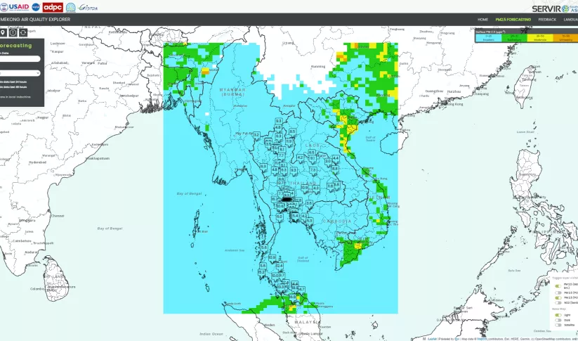
The Enabling Sustainable Landscape-Scale Agricultural Management through Fire and Air Quality Monitoring service guides authorities to regulate agriculture burning and manage forest fires using the Mekong Air Quality Explorer Tool.
-
Enhancing Anticipatory Actions for Disaster and Climate Resilience
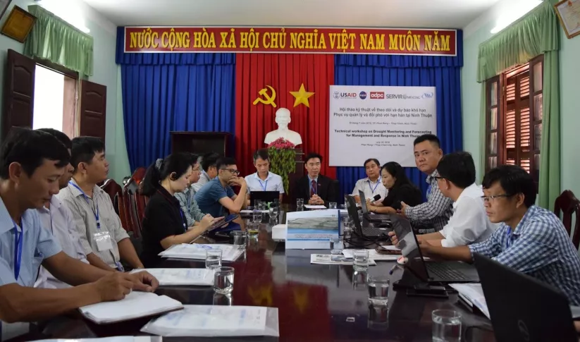
Enhancing Anticipatory Actions for Disaster and Climate Resilience aims to reduce the loss of lives and damage to properties and crops from floods and droughts by improving early warnings using satellite data and geospatial information.
-
Land Cover Monitoring for Forest Protection and Healthy Ecosystems
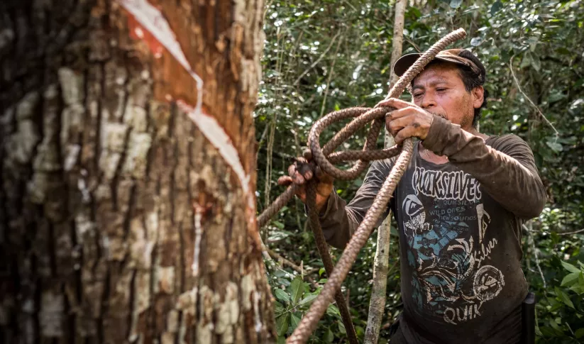
Land Cover Monitoring for Forest Protection and Healthy Ecosystems aims to decrease greenhouse gas (GHG) emissions, while supporting biodiversity conservation and augmenting water conservation.


-
Three Lessons on Inclusive Climate Action in Southeast Asia

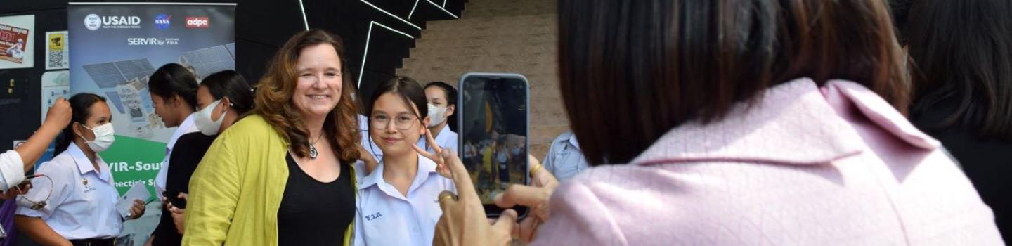
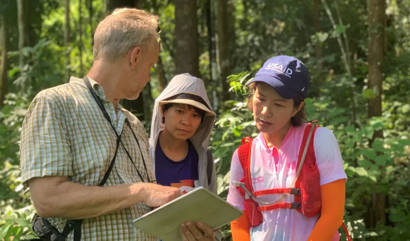
SERVIR Southeast Asia convened nearly 100 participants from five countries, for an Inclusive Climate Action Workshop in Chiang Mai, Thailand this February that included representatives of Indigenous communities, women’s groups, and even kids. Here are just a few takeaways from that week.
-
Using Artificial Intelligence to Boost Air Quality in Southeast Asia
Governments in Southeast Asia can leverage the benefits of artificial intelligence (AI) through an enhanced tool, developed by SERVIR Southeast Asia (SERVIR SEA), to estimate the environmental and health impacts of air pollution in their countries and implement effective responses.
-
Protecting an Ancient Forest in Cambodia
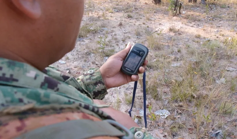
Forest rangers in one of Cambodia’s largest remaining forests now get deforestation alerts based on NASA satellite data.


-
Use Case: Greening Prey Lang
Greening Prey Lang, a USAID program, used Collect Earth Online (CEO) as part of their efforts to protect critical forestland in Cambodia and improve the lives of the people who live there.
-
Use Case: Vietnam Academy for Water Resources (VAWR)
VAWR, which operates under Vietnam’s Ministry of Agriculture and Rural Development (MARD), is the leading institute for water resources, research and development within Vietnam.
-
Use Case: Mekong River Commission (MRC)
The Mekong River Commission (MRC) is an intergovernmental organization that provides coordination and technical input on flood management to the members of the Lower Mekong countries including Cambodia, Lao PDR, Thailand, and Vietnam.


