
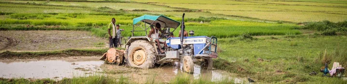
Changes in climate have serious impacts on agriculture and food security. Risks such as drought, pests, and floods can significantly affect agricultural production and rural livelihoods. At the same time, food production also contributes to climate change through the release of greenhouse gasses (GHGs), and it can impact the environment through deforestation and water pollution. The ability to provide enough food for growing human populations using climate-resilient methods is a global challenge, especially in the face of climate change.
SERVIR addresses these challenges by working with agricultural decision-makers at the regional, national, and local levels. SERVIR supports improved cropland and rangeland monitoring, yield estimation and forecasting, and strengthened early warning and anticipatory actions for the agricultural sector.
To address needs related to agriculture and food security, SERVIR applies Earth observations with diverse partners in the public and private sectors. For example, SERVIR uses Earth observations to help countries produce crop maps, which are fundamental inputs for national agricultural monitoring systems and greenhouse gas emissions reporting. SERVIR also leverages satellite-based vegetation and precipitation data and tools to support rangeland monitoring services for pastoralists. Timely and reliable temperature and precipitation forecasts can offer useful information for farmers to help increase yield and income. Crop yield predictions also inform policy and action on food security, such as agricultural insurance assessments or the distribution of aid following droughts.
Other activities include efforts to assess impact and support recovery from market- and climate-related shocks through crop insurance mechanisms, damage assessments, and food security outlooks. Many of these services also enhance the resilience of the agricultural sector by working with the risk financing sector and anticipatory action frameworks.
-
Crop Type Mapping and Condition Assessment in Senegal
The Crop Type Mapping and Condition Assessment in Senegal service will develop tools for estimating crop yields and provide early warning of food insecurity throughout the sub-region using varied ecosystems in Senegal, which are representative of ecosystems found throughout West Africa.
-
Enhancing Drought Resilience and Crop Yield Security for the Lower Mekong
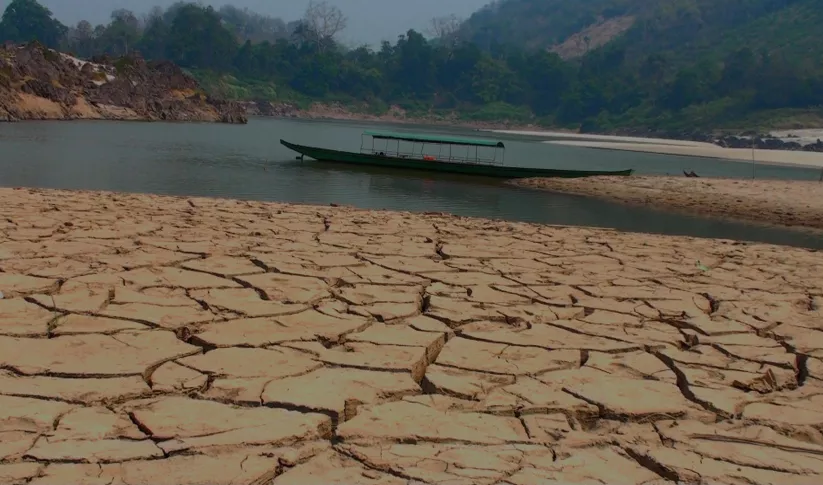
The Enhancing Drought Resilience and Crop Yield Security for the Lower Mekong Service provides drought nowcasts and forecasts at the regional level in the Lower Mekong Region and provincial level in Vietnam using hydrological and crop model information.
-
Regional Cropland Assessment and Monitoring Service
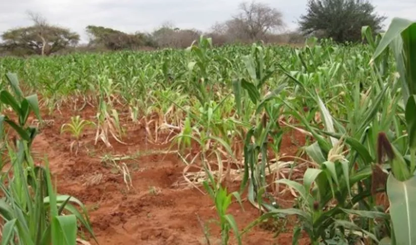
The Regional Cropland Assessment and Monitoring Service seeks to provide timely information for food security assessments through the development of national and regional crop monitors in East Africa.
-
Regional Drought Monitoring and Outlook System for South Asia
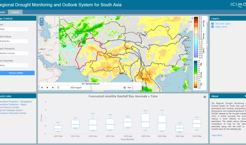
The Regional Drought Monitoring and Outlook System (RDMOS) was developed to help predict, mitigate, and adequately respond to drought vulnerabilities in the HKH region.


-
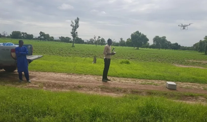
Extending forecasts from days to over a month improves farmer resilience in West Africa
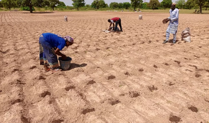
When irrigation isn't available, it's important to know when to expect rain. But with changes to our climate, farmers in West Africa can no longer count on a predictable weather. To mitigate this, SERVIR West Africa works with AGRHYMET to improve access to reliable weather and crop forecasts.
-
Mapping Common Ground for Farmers and Sustainability in the Amazon
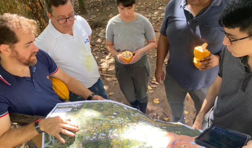
It may seem like farming is the enemy when it comes to preventing deforestation in the Amazon—and with good reason. The expansion of large-scale farming and cattle ranching is a leading cause of deforestation. However, the role of small-scale farming is less understood.
-
Weaving Satellite Data into an Ecosystem of Farmer Support
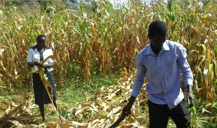
Kenya’s Ministry of Agriculture is collaborating with USAID and NASA to use satellite tools that expand their understanding of the climate-related challenges that farmers are facing.


-
Use Case: Kenya Ministry of Agriculture, Livestock, Fisheries, and Cooperatives (MoALFC)
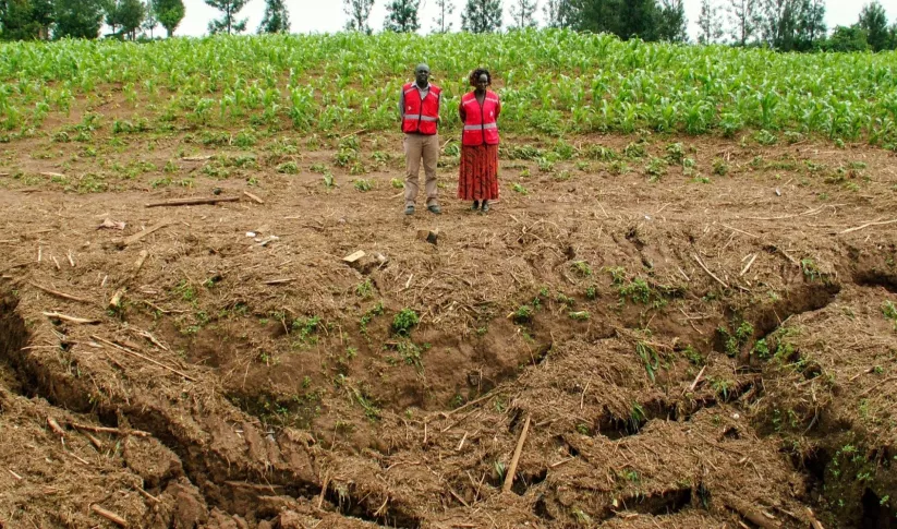
Learn how Kenya’s Ministry of Agriculture, Livestock, Fisheries, and Cooperatives (MoALFC) used the Regional Cropland Assessment and Monitoring Service to improve its yield assessment.
-
Use Case: Bangladesh Flood Forecasting and Warning Centre (FFWC)
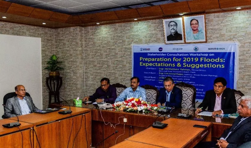
Enhancing Flood Early Warning Services aims to build the resilience of vulnerable communities in the Hindu Kush Himalayan region by increasing flood forecast lead times that are hosted on an interactive web platform.
-
Video: Using Satellite Data to Monitor Locust Swarms in Eastern Africa
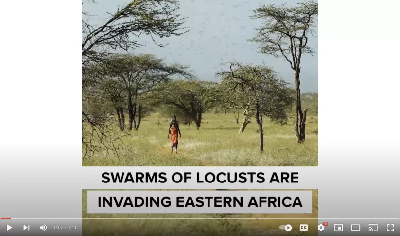
SERVIR Global is using NASA satellites to guide USAID and FAO resources on the ground to fight locusts in east Africa.


