
From 2008 - 2023, SERVIR Eastern and Southern Africa developed a diverse collection of user-tailored geospatial services that use Earth observations and NASA data to inform resilient development in the region. The Regional Centre for Mapping of Resources for Development (RCMRD), based in Nairobi, Kenya, implemented the Eastern and Southern Africa hub.
Currently SERVIR supports NASA Applied Science Team members work in Kenya, Malawi, Rwanda, Tanzania, Uganda, and Zambia.
-
Climate Change Vulnerability, Impacts, and Assessments Service
The Climate Change Vulnerability, Impacts and Assessments Service assesses climate change impacts on vulnerable communities, water resources, and ecosystems in order to better address resilience building activities.
-
Land Use Land Cover and Change Mapping Service for Eastern and Southern Africa
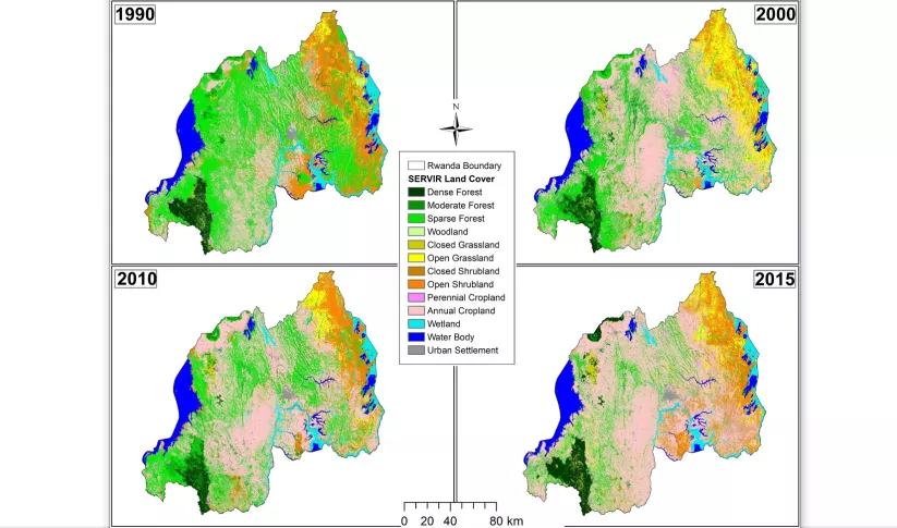
The Land Use Land Cover and Change Mapping Service was designed to provide governments with data, tools, and skills to better understand relevant intervention actions related to land conservation and management, ensuring that land resources can be efficiently monitored and regulated.
-
Regional Cropland Assessment and Monitoring Service
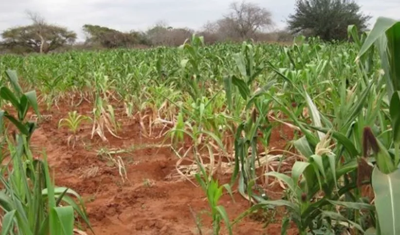
The Regional Cropland Assessment and Monitoring Service seeks to provide timely information for food security assessments through the development of national and regional crop monitors in East Africa.
-
Satellite-Based Water Quality Monitoring Service
The Satellite-Based Water Quality Monitoring Service leverages Earth observing satellite information to assess historical water quality changes of in-land trans-boundary lakes.


-
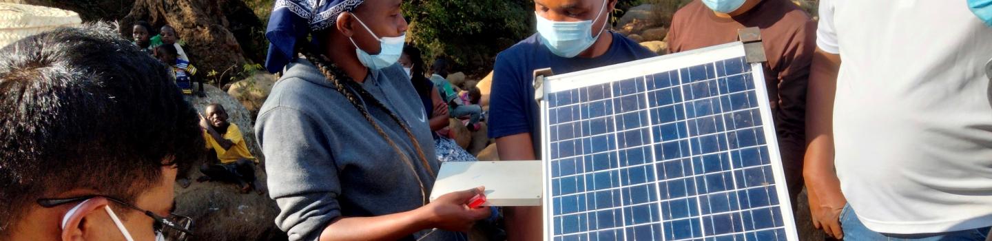
Weaving Satellite Data into an Ecosystem of Farmer Support
Kenya’s Ministry of Agriculture is collaborating with USAID and NASA to use satellite tools that expand their understanding of the climate-related challenges that farmers are facing.
-
Protecting Women Farmers from Climate Risk in Rural Kenya
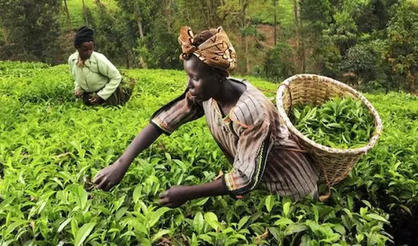
Women play a pivotal role in agricultural production. Worldwide, women represent 43 percent of the agricultural labor force; in Kenya, that number is between 42 and 65 percent.
-
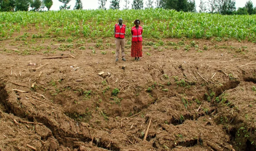
RCMRD, SERVIR Partnership Supports Rwanda's Leadership in Sustainable Land Management
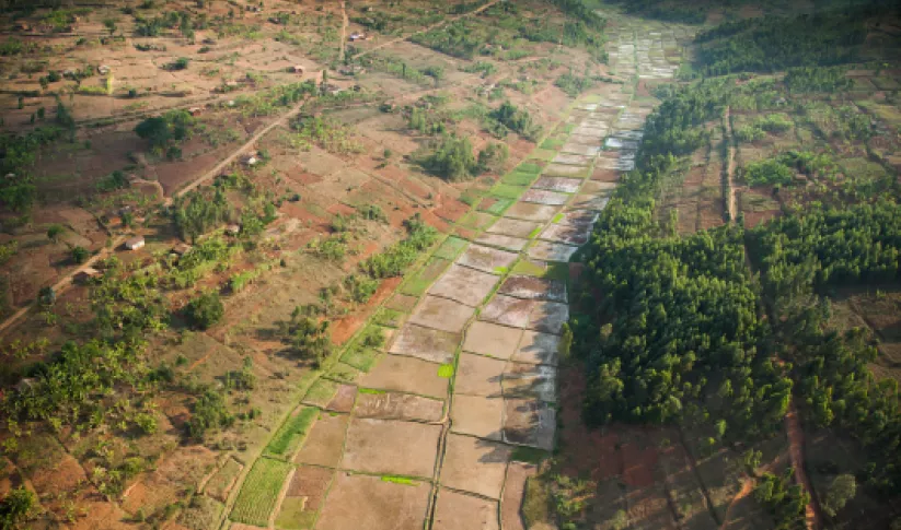
Rwanda is among the smallest countries in mainland Africa, roughly the size of Maryland with twice the population. Less land area means harder decisions, such as balancing land allocated for agriculture versus areas designated for forest conservation.


-
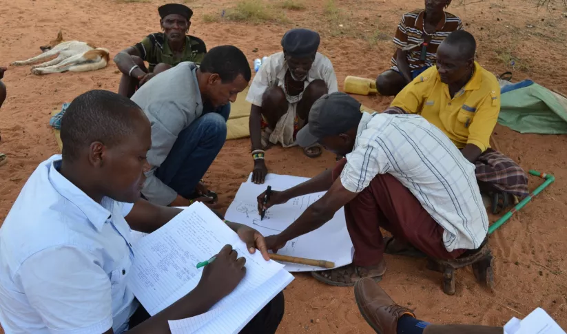
Use Case: Uganda Directorate of Water Resources Management (DWRM)
The Uganda Directorate of Water Resources Management manages and develops Uganda’s water resources in an integrated and sustainable manner.
-
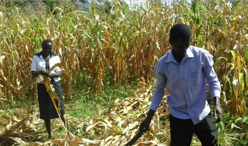
Use Case: Kenya Ministry of Agriculture, Livestock, Fisheries, and Cooperatives (MoALFC)
Learn how Kenya’s Ministry of Agriculture, Livestock, Fisheries, and Cooperatives (MoALFC) used the Regional Cropland Assessment and Monitoring Service to improve its yield assessment.

