Bangladesh announces nation-wide expansion of SERVIR satellite-based flood forecasting and warning system

At the Annual Fall Meeting of the American Geophysical Union (AGU), held 15-19 December 2014 in San Francisco, officials from Bangladesh made a big announcement. They are expanding use of a satellite-based flood forecasting and warning system developed by SERVIR. The system, which relies on river level data provided by the Jason-2 satellite, last year provided the longest lead time for flood warnings ever produced in Bangladesh. This is welcome news in a place where floodwaters inundate from 1/3 to 2/3 of the country each year, killing hundreds of people and affecting millions.
"Forecasters have the dream to extend lead time for flood warnings," says Amirul Hossain, Executive Engineer for the Bangladesh Water Development Board (BWDB). "By using Jason-2 near real time data, we made a real step forward in the flood forecasting system in Bangladesh."
About 80 million people depend on BWDB Flood Forecasting and Warning Center (FFWC)* flood warnings. Operating since 1972, this organization has progressively built and expanded its flood forecasting system, gradually improving it by assimilating additional data and approaches. The organization has mastered the art of forecasting based on ground-based and meteorological data and sophisticated models.
The FFWC disseminates flood warning bulletins and inundation maps in Bangladesh through e-mail, mobile message, fax, and via its own dedicated web site (www.ffwc.gov.bd). Without data from Jason-2 however, these warnings can be issued just 3 to 5 days in advance of flood inundation. During the 2014 monsoon season, the FFWC used the new Jason-2 solution experimentally and was able to forecast flooding 8-days in advance at 9 locations of the Ganges and Brahmaputra River Basins in the north, north-west, and central part of the country.
How does Jason-2 make these improvements and provide 3 to 5 additional days’ forewarning of flood?
The rivers that feed flooding in Bangladesh originate far beyond the country's borders, and the data on river levels in upstream countries is not available in real-time from conventional ground-based networks. Bypassing the need for ground-based data from beyond Bangladesh's borders, the Jason-2 based system overcomes this problem. Jason-2's radar altimeter measures the precise distance between the satellite and the river surface at points where the satellite crosses overhead. The data, available almost immediately, reveals the river's height at the point of crossing, so flood risks downstream can be assessed. Jason-2 tracks levels of the Ganges and Brahmaputra Rivers more than 600 miles upstream of Bangladesh to produce daily 8-day flood forecasts of water levels for several water stations. And best of all, the system requires only 30 minutes of processing time.
Based on the new solution’s successes, FFWC officials announced at AGU their intention to expand the Jason-2 based forecasting system nation-wide for 2015.
"We hope this is the beginning of a new journey, a new era for further development of the flood early warning system using space data or space technology," says Hossain. "In the coming year, with support provided by the NASA SERVIR team, we would like to expand the system to many other locations where possible, to enable more people to benefit from this system by receiving more extended lead time for flood forecasts."
SERVIR wants to make other flood prone nations aware of what this user-friendly, low-cost system can do to improve their flood forecasting. But the SERVIR team emphasizes that they aren't "knights in shining armor" who ride in on white steeds and save the day. They collaborate with people in each SERVIR hub region, working alongside them to understand issues and constraints there and modify the technology to fit the situation. The goal is to build capacity of regional organizations to use satellite observations, on their own, to understand and address issues they face.
"The FFWC engineers now independently access and use the Jason-2 data in their flood forecasting and warning operations," says Ashutosh Limaye, SERVIR Project Scientist. "We fully expect them to further improve and enhance the system, and to take advantage of data from future satellites to achieve even longer lead times for flood warnings."
Notes:
*FFWC’s team is made up of four members: Hossain, Arifuzzaman Bhuiyan, Sajjad Ahmed, and Ripon Karmakar (see www.ffwc.gov.bd). They do the work of Jason-2 forecasting and dissemination and work very hard every day from May to Oct to give Bangladesh confidence in planning for floods.
The FFWC operates within the Bangladesh Water Development Board (BWDB) under the Ministry of Water Resources in Bangladesh. The Director General of BWDB is Shahidur Rahman.
SERVIR and the International Centre for Integrated Mountain Development based in Kathmandu, Nepal, developed the Jason-2 based flood forecasting and warning solution.
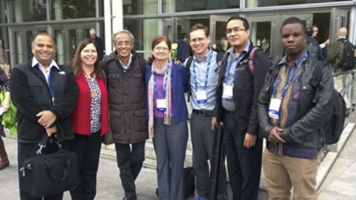
AGU, based in Washington DC, is an international non-profit scientific association with more than 60,000 members, and is dedicated to advancing Earth and space sciences. As the largest worldwide geophysical sciences conference, the AGU Fall Meeting is attended by over 20,000 Earth scientists, space scientists, educators, students, and other leaders. The event gives attendees a venue in which to present their research, communicate with colleagues, and learn about the latest progress in the geophysical arena. SERVIR Coordination Office and NASA Applied Sciences Program personnel as well as SERVIR hub team members, SERVIR Applied Sciences Team (AST) members, and SERVIR stakeholders, attended the AGU meeting.

