
A geospatial platform to support Pakistan's Ten Billion Tree Tsunami Programme and ecosystem restoration
Written by Utsav Maden and Faisal M. Qamer of SERVIR HKH/ICIMOD. This article was originally featured on SERVIR HKH's website. Click here to go to the original post.
SERVIR Hindu Kush Himalaya (SERVIR HKH) partnered with Pakistan's Ministry of Climate Change (MoCC), for a national consultation workshop to set the groundwork for the co-development of a geospatial platform to support the ministry’s afforestation and ecosystem restoration programmes, including the Ten Billion Tree Tsunami Programme (TBTTP).
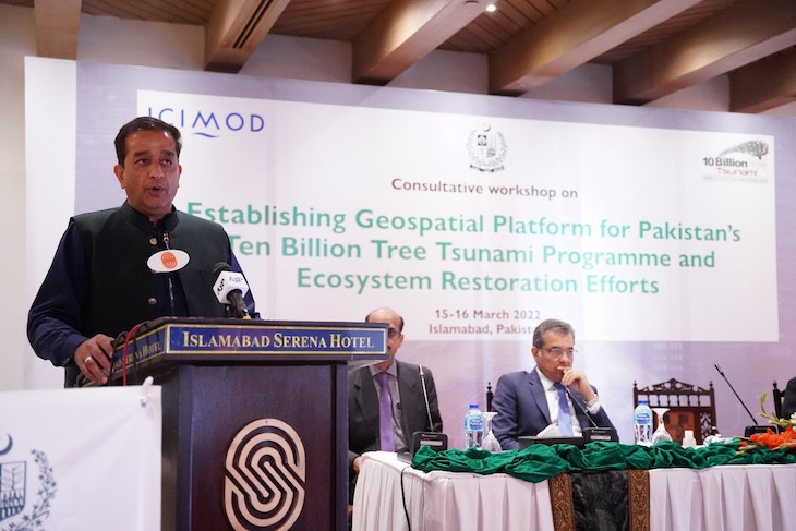
Malik Amin Aslam, Special Assistant to the Prime Minister on Climate Change, commended the collaboration between
MoCC and ICIMOD and added that ICIMOD has been a long-time partner in efforts to preserve biodiversity
in the mountain areas of the country. (Photo credit: Ministry of Climate Change)
Pakistan’s national initiative to plant one billion trees is a leading example in conservation and ecosystem restoration in the Hindu Kush Himalaya (HKH) region. Started in 2014 in the Khyber Pakhtunkhwa province, the afforestation programme achieved the target of one billion trees by 2018 and has now expanded into a nationwide programme with a target to plant 10 billion trees across the country.
Addressing the two-day workshop in Islamabad, Special Assistant to the Prime Minister on Climate Change Malik Amin Aslam commended the collaboration between the MoCC and ICIMOD and spoke about their long history of joint efforts to preserve biodiversity in Pakistan’s mountainous regions. He shared that the TBTTP has helped restore over one million hectares of degraded land across Pakistan (totalling around 1.5 billion trees) and announced that the partnership with ICIMOD and consequent geospatial monitoring efforts would improve forest cover data accessibility and add another layer of transparency and credibility for the initiative.
ICIMOD's strategic support in Pakistan
Joining the meeting remotely from ICIMOD headquarters in Kathmandu, Nepal, ICIMOD's Director General Pema Gyamtsho commended Pakistan’s strategic efforts to reverse ecosystem degradation while meeting increasing livelihood demands within the mega initiative of the TBTTP. He shared that global leaders have recognized and acknowledged this initiative for its triple benefits: capturing carbon, protecting natural flora and fauna, and providing economic benefits to local communities.
ICIMOD continues to support the production of evidence-based knowledge on glacier dynamics, water disasters, and water availability scenarios in the country. SERVIR HKH produced the first systematic wall-to-wall forest cover maps to characterize forest cover distribution and deforestation rates in Pakistan’s mountainous regions and developed the Regional Land Cover Monitoring System, an operational service that provides annual land cover mapping and change analysis services for the entire HKH region.
Gyamtsho shared that ICIMOD is committed to enhancing national capacities and strengthening information services in priority areas defined by national governments in the HKH region. “We believe that ICIMOD’s commitment and contribution to promoting sustainable development and biodiversity conservation will make a difference in the lives of HKH mountain communities,” he said.
A platform for data generation and policy support
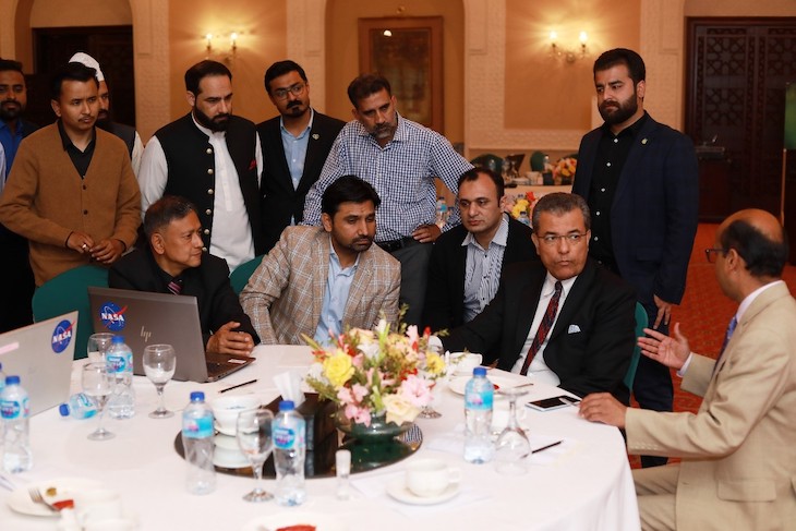
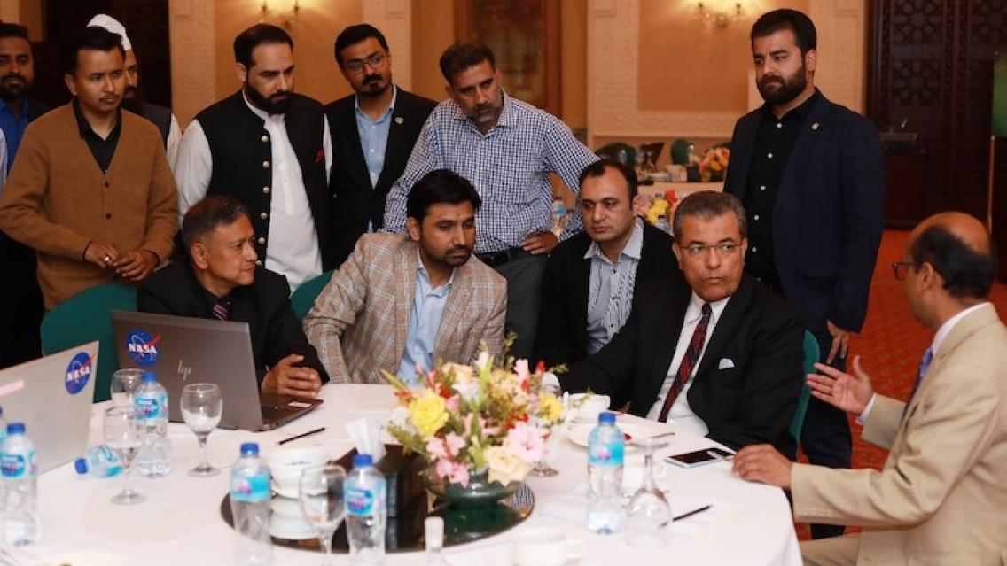
ICIMOD officials briefing Jaudat Ayyaz, Inspector General Forest/Additional Secretary MoCC,
Pakistan at the workshop. (Photo credit: Ministry of Climate Change)
The MoCC and ICIMOD have agreed upon an operational framework and a joint work plan to co-develop the platform and to produce Pakistan’s State of the Forest Report using a globally accepted classification approach and improved digital field data collection methods to ensure transparent forest cover monitoring in the country. This report will present change analysis of plantation sites after massive plantation and afforestation. The MoCC has already conducted satellite monitoring of 70 selected sites of the TBTTP and found 60% positive change after plantation on the sites. With the establishment of the platform, the ministry will be further able to harness digital technologies to plan and monitor forest conservation and afforestation activities and substantially improve forest management in the country. Additionally, the system will ease the compilation of key indicators – e.g. forest cover, ecosystem services, socioeconomic factors – at district or province levels, or for national or international reporting.
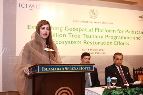 |
Zartaj Gul, Minister of State for Climate Change in Pakistan, addressed the closing session of the workshop. (Photo credit: Ministry of Climate Change) |
Zartaj Gul, Minister of State for Climate Change in Pakistan, addressed the closing session of the workshop and welcomed the collaboration with ICIMOD to build national capacities in new technologies. “It is extremely important to generate reliable data and information to support targeted policies and collective action by the government for the delivery of on-the-ground results – increasing forest cover, generating employment, and improving people’s livelihoods in Pakistan’s remote areas,” she said.
The two-day workshop brought together MoCC and ICIMOD officials; provincial project directors and coordinators under the TBTTP; forest department officials; and representatives from relevant national/provincial agencies, development partners, and non-governmental organizations working in the areas of biodiversity conservation and ecosystem restoration.
The SERVIR HKH Initiative extended technical support at the national consultation workshop, and the geospatial platform being planned is part of the service area on land cover and land use change, and ecosystems. SERVIR-HKH has been supporting ICIMOD Regional Member Countries in adopting the latest digital solutions and innovations in Earth observation and Earth sciences, and geospatial information technology to support evidence-based informed decision making towards improving resilience and sustainable resource management at local, national and regional scales.