
Locally Led Development Drives Climate Action at the SERVIR Hindu Kush Himalaya Hub
The SERVIR Hindu Kush Himalaya (SERVIR HKH) hub is based at the International Centre for Integrated Mountain Development (ICIMOD) in Kathmandu, Nepal. The hub leverages ICIMOD’s capabilities as an established regional resource center on geospatial information and Earth observation applications across the Hindu Kush Himalayan region, which includes eight member countries: Afghanistan, Bangladesh, Bhutan, Burma (Myanmar), China, India, Nepal, and Pakistan. The SERVIR HKH hub works with national, regional, and local governments to co-develop tools and services to help mountain communities improve climate resilience and sustainable resource management.
Below are a few examples of how SERVIR’s Hindu Kush Himalaya hub is working with local governments and communities to manage challenges - in areas of food security, water resources, weather and climate, land use, disasters, and air quality – that are made increasingly more difficult by a changing climate.
Rangelands Directorate under the Ministry of Agriculture Irrigation and Livestock in Afghanistan
SERVIR HKH’s Regional Drought Monitoring and Outlook System (RDMOS) is an operational service producing current and seasonal outlooks using reliable drought indicators for the HKH region. The RDMOS and national drought watches for Afghanistan, Bangladesh, Nepal, and Pakistan were developed in close collaboration with relevant national agencies to mitigate and adequately respond to drought vulnerabilities and enable informed decision making in the HKH region.
SERVIR HKH’s national partners are using the national agricultural drought products for quarterly food security assessments, comprehensive vulnerability assessments, and aid assistance planning during extreme events. In light of the drought emergency in Afghanistan, SERVIR HKH worked closely with the Rangelands Directorate under the Ministry of Agriculture Irrigation and Livestock in Afghanistan to develop a Drought Response Plan for the Livestock Sector for all provinces.
Ministry of Agriculture and Livestock Development (MoALD) in Nepal
SERVIR HKH’s crop monitoring and assessment service includes mapping of crops – type, area, and crop conditions – and yield assessment of major crops in Bangladesh, Nepal, and Pakistan. The service aims to strengthen evidence-based decision making in local bodies by improving the accuracy and timeliness of estimation about the major crops.
In 2020, results from SERVIR HKH’s joint crop area estimation and field validation exercise with the Ministry of Agriculture and Livestock Development (MoALD) in Nepal informed their procurement and subsidy process at the sub-district level. Additionally, it also led to MoALD restructuring its GIS unit to extend the remote sensing-based approach for other cereal crops as well.
Flood Forecasting and Warning Center (FFWC) in Bangladesh
SERVIR HKH’s Enhancing Flood Early Warning service uses downscaled global flood discharge forecasts with routing models to forecast flood water levels in flood-prone river stretches in Bangladesh, Bhutan, and Nepal with 10–15 days of lead time.
The FFWC in Bangladesh routinely uses SERVIR HKH’s Streamflow Prediction Tool for Bangladesh for inputs into its own in-house hydraulic model and flood mapping applications. These inputs were especially helpful during the 2018 and 2019 floods, resulting in reliable baseline inputs and accurate forecasts. FFWC has also been using observational data from select locations to validate the forecasts that the model generates.
SERVIR HKH is collaborating with Practical Action, an international development organization, to customize the service for use at the community level in western Nepal. SERVIR supported Practical Action in preparing a Strategic Action Plan for Multi-Hazard Early Warning Systems in Nepal’s Karnali Province. Practical Action organized a number of consultation workshops, and a strategy document has been finalized.

BWDB and FFWC organized a stakeholder consultation workshop to introduce
the Streamflow Prediction Tool that improves flood forecasting in
Bangladesh, ahead of the 2019 monsoon floods. Photo credit: SERVIR HKH
Forest Research Training Centre in Bangladesh & Department of Forests and Soil Conservation in Nepal
SERVIR HKH’s Regional Land Cover Monitoring System (RLCMS) is an operational service that provides annual land cover mapping and change analysis services. Using a robust method and a harmonized classification scheme to enable monitoring and change analysis, the system produces consistent annual land cover data at the regional level for the HKH, and at national levels for Afghanistan, Bangladesh, Myanmar, and Nepal. Early involvement of the Forest Research Training Centre and the Bangladesh Forest Department staff in the co-development of the system has helped strengthen capacities so that these institutions can take the activity forward independently with limited technical backstopping from ICIMOD.
In collaboration with the Department of Forests and Soil Conservation (DoFSC) in Nepal, SERVIR HKH developed a satellite-based Forest Fire Detection and Monitoring System that uses Earth observation data with large-area repetitive coverage for near real-time fire detection, monitoring, and burnt area assessments. Incorporating feedback from users, SERVIR HKH has augmented the system to add several additional features and localized the user interface in the Nepali language.
Empowering Women in GIT in Nepal, Afghanistan, Pakistan, Bhutan and Bangladesh
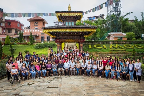
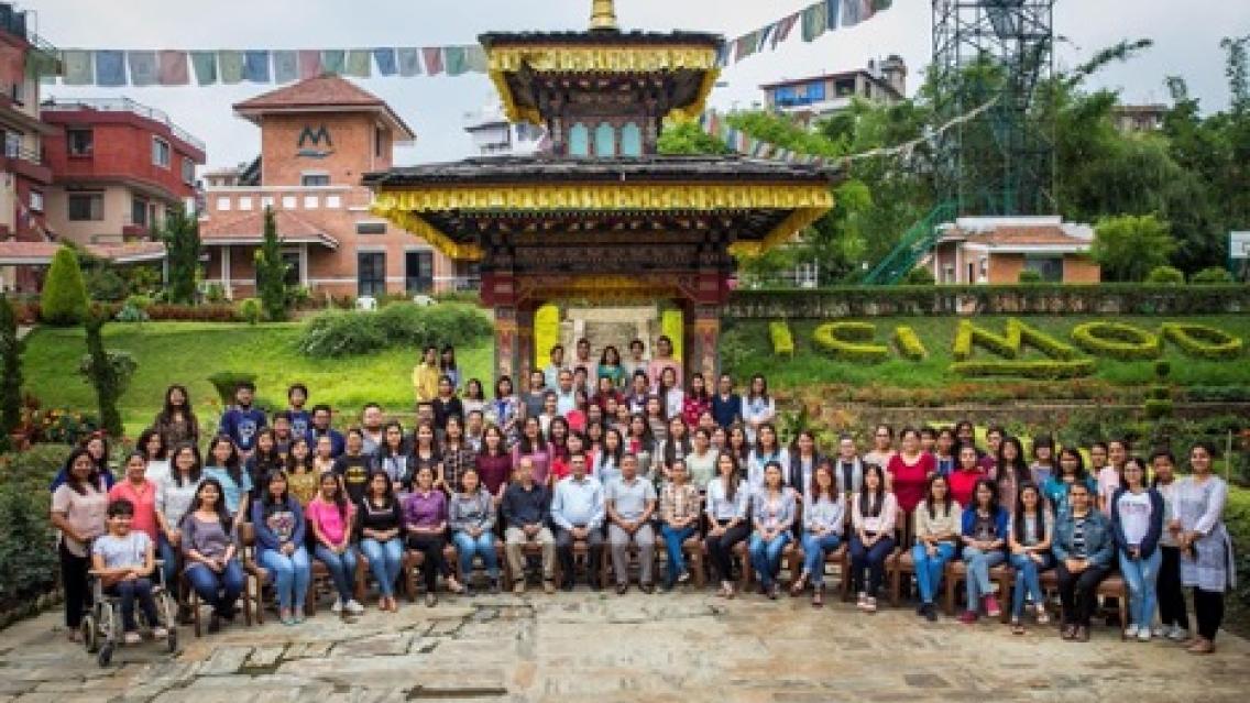
The first Empowering Women in GIT training brought together eighty-four aspiring
young women from across Nepal for a four-day training at ICIMOD headquarters.
Photo credit: Jitendra Raj Bajracharya/ICIMOD
SERVIR HKH’s Empowering Women in GIT series aims to encourage women to pursue EO/GIT careers or apply such science in their respective fields. In 2021, SERVIR HKH organized five country-focused trainings, reaching 235 women affiliated with 166 institutions in Nepal, Afghanistan, Pakistan, Bhutan, and Bangladesh. Since its inception in 2018, a total of 410 women have benefitted from this training series.
Training School Teachers in Earth Observation (EO) and Geospatial Information Technology (GIT) in Nepal
Nineteen school teachers participated in the first "Connecting Space to Village"
training, which introduced them to EO and GIT tools and their applications.
Photo credit: Jitendra Bajracharya/ICIMOD
Recognizing the role that schoolteachers play in introducing and curating STEM education in schools, SERVIR HKH piloted the “Connecting space to village: Training teachers to disseminate EO & GIT knowledge” training for school teachers in Nepal to introduce them to EO and GIT concepts and their applications in 2019.
Through the combined efforts of regional hubs, and with technical support from USAID, NASA, and U.S.- based science collaborators, SERVIR has been front and center at promoting locally led development and climate action around the world. The SERVIR Global network demonstrates the value of Earth observation and collaborative science and is strategically placed to support these new climate initiatives of the U.S. government and USAID. To learn more about how SERVIR’s locally led development is driving climate action across its five hubs, click here.
1A joint initiative of NASA and USAID, SERVIR works in partnership with leading regional organizations worldwide to help developing countries use information provided by Earth observing satellites and Earth science to address development challenges in food security, water resources, weather and climate, land use, natural disasters, and air quality.