
Mapping Common Ground for Farmers and Sustainability in the Amazon
It may seem like farming is the enemy when it comes to preventing deforestation in the Amazon—and with good reason. The expansion of large-scale farming and cattle ranching is a leading cause of deforestation. However, the role of small-scale farming is less understood. There are over 30 million people who live in the Amazon, many of whom rely on planting crops like açai and cacao on less than .05 km2 of land for their survival. Collectively, these small-scale farms can play a large role in supporting biodiversity and local livelihoods throughout the region. In partnership with SERVIR, experts in Brazil are using NASA satellite data to better support these farmers, and hopefully change the fate of deforested land in the process.
To help prevent new deforestation in the Amazon, it is important for policymakers to understand how agriculture is expanding throughout the region. Rather than expanding into existing forest, some small-scale farmers grow crops on land that has already been deforested, like abandoned cattle ranches. By mapping out crops in these areas, local agencies can design policies that make it easier for these farmers to manage deforested land in ways that support the environment and local economies.
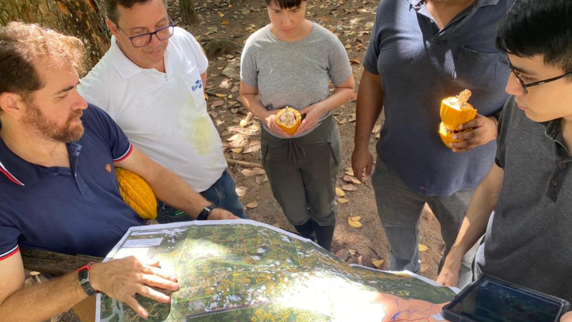
Dr. Adriano Venturieri is an agronomist and remote sensing expert who has worked for 30 years with Embrapa, a Brazilian research agency that partners with agricultural organizations across the country to offer technical support to farmers. To support sustainable land use, Embrapa maps how small-scale farmers are using previously deforested land.
One approach to repurposing deforested land is agroforestry, a system that mirrors many Indigenous agricultural practices. In this system, trees are combined with other crops or livestock production to support a “bioeconomy,” generating local employment, income, and environmental benefits.
To better understand small-scale agroforestry in the Amazon, Venturieri started mapping cacao in his home state of Pará. Because satellite imagery struggled to distinguish tree crops from surrounding forest, he consulted farmers to map 690 km2 of cacao by hand over the course of several years.
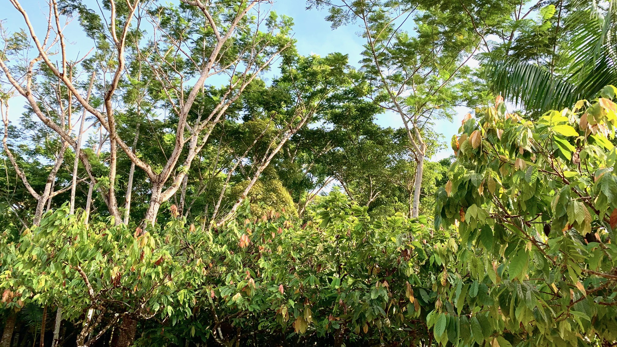
Through his work, Venturieri noticed the benefits of small-scale agroforestry. Across the Brazilian Amazon, many farmers use fires to clear land, emitting greenhouse gasses. However, Venturieri saw that small-scale farmers in Pará stopped using land-clearing fires when they grew cacao. Additionally, farmers planted cacao on previously deforested land, helping to store more carbon from the atmosphere.
In 2020, Venturieri met Dr. Naiara Pinto, a SERVIR Applied Scientist with NASA’s Jet Propulsion Laboratory. Pinto was mapping cacao in Peru with satellite radar data to more accurately identify perennial crops. In just over a year, Venturieri and his colleagues were able to combine their participatory mapping efforts with Pinto’s models to map an additional 210 km2 of cacao. The effort expanded to other crops, including oil palm, açai, citrus, and coffee.
Pinto shared the importance of working with partners like Embrapa, who have built trust with local farmers and have the technical expertise needed to translate satellite data into useful tools for the unique realities of each community.
“A misconception is that there is one type of farmer, and there is one Amazon,” Pinto explained. “There are many Amazons, there are many different regions with people with very different strategies and approaches to agriculture, and they organize themselves in different ways.”
When farmers see their communities from above with satellite imagery, many are shocked that there are so many others who are growing similar crops. Some communities have responded to this information by creating cooperatives, where farmers can collectively negotiate for better prices.
Venturieri emphasized that there is no one-size-fits-all solution for sustainability. “Many times people want to impose a global concern on a farmer, and this won’t fit. But if the focus is instead on the unique issues of each farm, things will change, and there will be cascading effects… eventually there will be an entire region that adopts the practices of conservation and sustainability.”
Based on their work, Embrapa added perennial crops to TerraClass, a platform which monitors how deforested land is being used to support national carbon accounting.
Pinto’s collaborative efforts position partners in Brazil and Peru to integrate new technologies into their work, such as data from NASA’s GEDI and Landsat instruments. In 2024, the team plans to incorporate radar data from the upcoming NASA/India NISAR satellite to more accurately map different crops. With better technology, experts like Venturieri will have more time and resources to meet with communities and explore uses for agroforestry maps, such as creating policies that pay farmers for growing sustainably.
Venturieri shared that, with the combination of cutting-edge technologies from SERVIR and small-scale agroforestry, a more sustainable future is possible: “The Amazon doesn’t need even one square meter of deforestation to be able to produce food for everyone.”