
SERVIR Scientists Improving Land Management Through Satellite Imagery
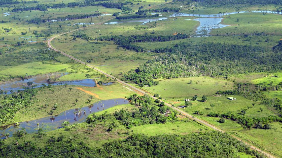
Innovations in land cover and land use change (LCLUC) mapping are some of NASA’s most vital contributions to Earth science and sustainability. Since the launch of the first Landsat satellite in 1972, millions of images have been captured over the Earth’s surface. Over the past fifty years, these images have formed a record of the diverse ecosystems and landscape uses on our planet over time — enabling scientists, governments, and other stakeholders to map LCLUC changes on a scale never before possible.
The SERVIR Applied Sciences Team (AST) is a group of Earth science experts selected by the NASA Applied Sciences Program to coordinate with co-investigators at SERVIR regional hubs. Seven members of this team are currently working to help communities around the world not just engage in LCLUC mapping, but to access NASA science and technology to sustainably manage and protect the land we all live on. Read the full article on the NASA Applied Sciences Program website.