
SERVIR small scale applications and small grants promise large impact
Working in developing countries around the world, SERVIR seeks to incorporate regional knowledge and perspectives to best meet end user needs in addressing issues such as flood forecasting, forest fire management, landslide hazard, agricultural monitoring, and biomass estimation.
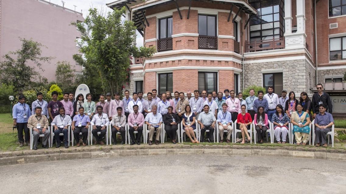
SERVIR-Himalaya, hosted by the International Centre for Integrated Mountain Development (ICIMOD), has supported 14 research grants and small scale application development projects from Bangladesh, Nepal, India, and Pakistan related to these issues. A two-day workshop at ICIMOD in Kathmandu, Nepal, 1-2 July 2015, showcased the project's impressive results.
During the past year, the 14 small grants and small scale applications projects engaged directly with members of communities in their study areas to help bring in local context. Results included a collection of best practices demonstrating how Earth observation tools can help address environmental problems faced by communities in the Hindu Kush Himalayan (KHK) region. Importantly, most of these practices can be replicated across countries.
During the inaugural session of the workshop, ICIMOD Director General David Molden described the project outcomes as having great potential in applications and impact. He also highlighted how skills acquired through SERVIR have been crucial in providing maps of potential geo-hazards to the government of Nepal during the recent earthquake. Such maps supported the Government in carrying out timely rescue interventions. In fact, an android application for disaster reporting developed under one of the 14 small grants/small scale applications projects was tested and proven useful in the field during the earthquake.
Other projects in Nepal, India, and Pakistan included developing a model that engages community members in mapping natural resources via mobile phone and global positioning system; using unmanned aerial vehicles to measure forest above-ground biomass; collecting data on grazing intensity and rangeland management to help decision makers identify best practices for sustainable management; and using a community-based forest fire information system to encourage community members to send out forest fire alerts and mobilize resources for combating fires.
Projects undertaken in Bangladesh addressed environmental problems the country is facing and included improving the existing flood forecasting system and landslide early warning systems, as well as identifying potential sources for clean drinking water.
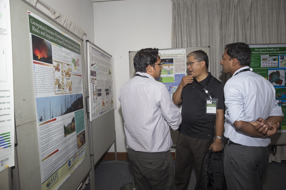
Workshop participants spoke about the benefits of the small grants and small scale applications projects, which not only collected data from the field but also better familiarized people on the ground with climate change impacts.
“Coming from a mountain community where the impact of climate change is more than visible, the SERVIR-Himalaya small scale application program helped us understand our challenges and how we can adapt to these challenges through the use of geospatial tools and technologies,” said Syed Najam -Ul-Nassan, from Karakoram International University in Pakistan.
Waqas Ahmed Qazi, from the Institute of Space Technology in Pakistan, noted "We managed to do some really interesting work on forest above-ground biomass estimation, correlating field measurements with unique remote sensing measurements."
Binod Prasad Heyojoo of Institute of Forestry, Tribhuvan University in Nepal, noted that the program raised his research team’s understanding of Nepal’s critical forest fire issues and enabled the team to produce powerful research-based teaching and learning materials for forest managers.
Muhammad Enamul Quadir from the Institute of Water Modelling in Bangladesh stated “The SERVIR-Himalaya program provided us the opportunity to use satellite data in research. The skills we have acquired through this will improve the way we conduct research in the future.”
“Geospatial solutions have given a special eye to our natural resource management efforts - a new perspective to participatory action research,” said Dipanyan Dey of the South Asian Forum for Environment (SAFE). “The SERVIR-Himalaya initiative’s small grant program … has enabled us to augment our reach to communities in the HKH.”
Workshop attendees included representatives from the various projects as well as from USAID, NASA, DAI, and RCMRD/SERVIR-Eastern & Southern Africa.
Notes:
- The small grant and small scale application programs were started in June 2014 with an aim to expand the network of organizations, universities, and institutions in the HKH region to improve capacity in evidence based decision making. Another objective was to generate innovative ideas for applying Earth observation data and geospatial methods/tools for decision making in the region.
- Some content for this article was provided by Chimi Seldon of SERVIR-Himalaya/ICIMOD.