
Story Map: Civil war and the ensuing population dynamics on Rwanda's land cover
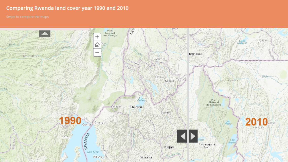
Civil war has far-reaching impacts. It can lead to population flight, economic woes, loss of life, property, and livelihoods, and even changes in the face of the land itself. Nowhere are the devastating consequences of past civil unrest clearer than in Rwanda. SERVIR’s Susan Kotikot, a graduate research assistant from the University of Alabama in Huntsville, has created a compelling story map to reveal the effects of civil unrest on Rwanda’s land cover. She tells Rwanda’s story through the use of text, maps, images, and graphs. The maps used to illustrate the story were created by the SERVIR-Eastern and Southern Africa and its hub host institution, the Regional Center for Mapping of Resources for Development (RCMRD). These land cover maps were created from processing of Landsat imagery for different time periods for nine countries, including Rwanda, in Eastern and Southern Africa, to support the development of national greenhouse gas inventories.
Explore the story map here: http://arcg.is/1QUQE1y