
Surf and Turf: Studying Land to Help Protect Reefs
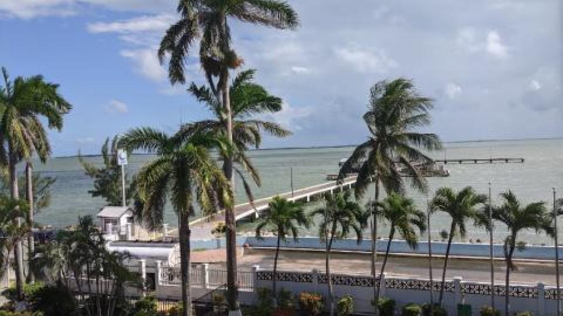
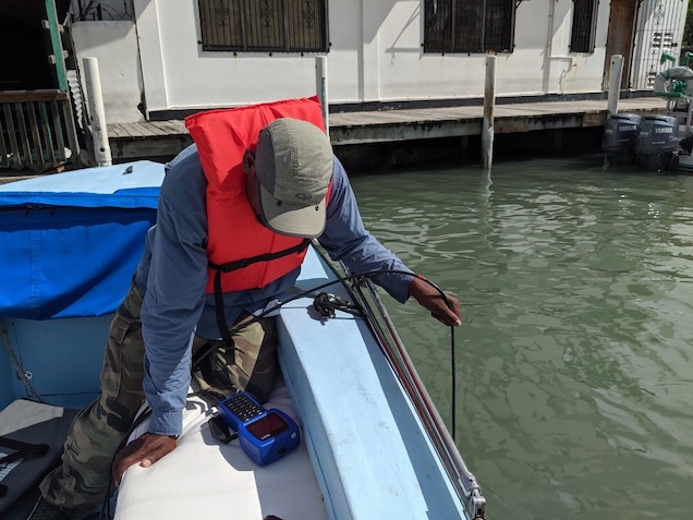
As farmland increases in Belize, more and more sediment and agricultural runoff is making its way into the country’s rivers and eventually into the sea —where it reaches the Belize Barrier Reef. Earth scientists with NASA’s SERVIR program are using satellite data to measure how those changes on land might shape the future of the country's famous marine life.
Read the full article on the NASA Applied Sciences Program website.