Articles & Stories SERVIR-Mekong adds key tools for environmental monitoring Recently, the SERVIR-Mekong team added three new tools to aid in the environmental monitoring of the Mekong River Basin. November 4, 2016
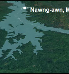
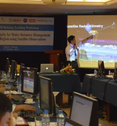
Blog Supporting Water Management in the Lower Mekong with Satellites Read about recent SERVIR activities in the Mekong region to help them use NASA's publicly available satellite data to support decision making on water resources issues. October 24, 2016
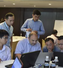
Blog Monitoring Land Cover for Resilient Development SERVIR-Mekong, along with SilvaCarbon, the US Forest Service and SIG, hosted a Google Earth Engine Training and a second workshop for the Regional Land Cover Monitoring System from 7-14 July 2016. August 16, 2016
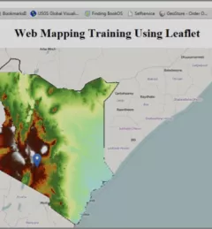
Blog RCMRD/SERVIR-Eastern & Southern Africa building Web Mapping capabilities in Namibia, South Africa, Botswana, and Kenya The Web has changed every aspect of our lives, from daily events to professional undertakings such as work related activities. Geographic Information Systems (GIS) – tools that enable us to manipulate the geographic aspects of data – have also been affected by web technology. February 8, 2016|Patrick Kabatha, RCMRD/SERVIR
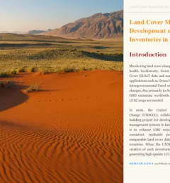
Articles & Stories Telling the Story of Changing Land Cover in Namibia Susan Malaso Kotikot, a Graduate Research Assistant with SERVIR, has created an interactive publication to describe and explain land cover changes that took place in Namibia between 2000 and 2010. July 7, 2015