Blog 
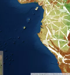
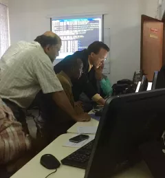
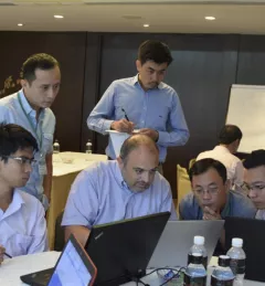
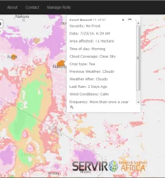
Supporting Water Management in the Lower Mekong with Satellites 
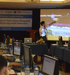
Read about recent SERVIR activities in the Mekong region to help them use NASA's publicly available satellite data to support decision making on water resources issues. October 24, 2016
Articles & Stories Story Map: SERVIR data supporting biological corridor and endangered gorilla species protection Deforestation and habitat fragmentation in the tropics represent major threats to biodiversity and contribute to carbon emissions. September 1, 2016
Articles & Stories Enhancing Weather Prediction in East Africa Accurate weather research and forecasting (WRF) models are key to weather-related disaster preparedness. The NASA Short-term Prediction Research and Transition (SPoRT) Center, through SERVIR, has been working with regional forecasters to help enhance weather forecast accuracy in East Africa. August 24, 2016
Blog Monitoring Land Cover for Resilient Development SERVIR-Mekong, along with SilvaCarbon, the US Forest Service and SIG, hosted a Google Earth Engine Training and a second workshop for the Regional Land Cover Monitoring System from 7-14 July 2016. August 16, 2016
Articles & Stories SERVIR Summer Intern develops mobile app to report frost events Charity Beeman, a senior at Troy University majoring in Computer Science, has been working on a unique project this summer as an intern with SERVIR. August 12, 2016