Articles & Stories 
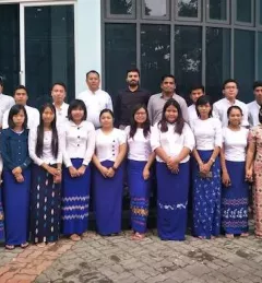
Training Myanmar's Next Generation of River Engineers 
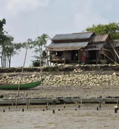
The Ayeyarwady River in Myanmar is one of the largest free-flowing rivers in the region and serves as the fulcrum around which Myanmar society and economy revolves. November 6, 2019
Articles & Stories New drought monitoring system will reduce climate risks for South Asian farmers After Afghanistan, Nepal, and Pakistan, the Regional Drought Monitoring and Outlook System extends its coverage to Bangladesh. September 5, 2019
Articles & Stories Taking stock of the damage: Mapping the impact of the 2019 Bangladesh floods using satellite imagery In view of the recent flooding events in South Asia, ICIMOD has prepared flood inundation maps by analysing freely available satellite imagery. These maps provide a synoptic overview of the extent of the inundation caused by the floods and can aid disaster management agencies in prioritizing relief and rescue activities in flood-affected areas. August 10, 2019
Articles & Stories Dancing rivers of Myanmar – mapping moves from space Changes in river morphology including floods, erosion, and landslides are affecting ecosystem habitats and the lives and livelihoods of communities living along Myanmar's rivers. SERVIR-Mekong is using satellite-based monitoring tools to support Myanmar agencies and communities to manage the risks better. July 3, 2019
Articles & Stories Operationalizing an Agricultural Drought Monitoring and Early Warning System in the Hindu Kush Himalaya Region ICIMOD, under its SERVIR-Hindu Kush Himalaya (SERVIR-HKH) and Climate Services for Resilient Development (CSRD) Initiatives, is collaborating with technical organizations in the United States and meteorological and agricultural institutions in the HKH to establish a regional agricultural drought monitoring and early warning system. June 4, 2019