Articles & Stories 
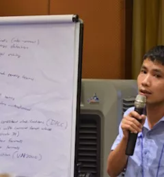
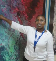
Space Age Technology to Monitor Land Use in the Lower Mekong 
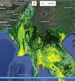
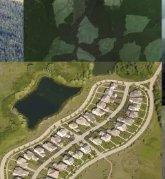
Monitoring land cover and land use change is important for land resource planning, maintaining ecosystem services, and for building resilience to climate change. May 15, 2018
Articles & Stories Enhancing Protection of Forests Across the Globe Using Synthetic Aperture Radar Satellites The crucial role forests play in our world cannot be underestimated. To enhance preservation and monitoring of this natural resource, SERVIR and SilvaCarbon launched a series of global workshops this year in West Africa, Eastern and Southern Africa, Hindu-Kush Himalaya, and the Lower Mekong region on Synthetic Aperture Radar (SAR) applications. March 14, 2018
Articles & Stories Big Data Transforms Vietnam's Monitoring of Forest Coverage The forests of Vietnam support the livelihoods of over 24 to 30 million rural people in Vietnam. Deforestation has serious effects on biodiversity, threatening the safety of millions of inhabitants as well as wildlife. January 4, 2018
Articles & Stories Planning, Growth Made Easier with Digital Maps Business Daily Africa recently featured an article about the land use and crop cover maps developed by RCMRD/SERVIR-Eastern and Southern Africa and available on their open data web portal. November 18, 2017
Events Webinar on Remote Sensing for Forest Change Detection In the context of the U.S. Agency for International Development (USAID)-funded SilvaCarbon initiative, the US Forest Service (USFS) will be hosting a webinar to introduce an online training course on Remote Sensing for Forest Cover Change Detection using freely available, open source software (QGIS and Google Earth Engine). April 14, 2017