
Estimating Forest Stand Height (FSH) with Synthetic Aperture Radar (SAR)
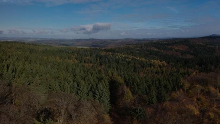
Synthetic Aperture Radar (SAR) is a useful technology for monitoring forests and estimating biomass since it provides information complementary to optical sensors, such as vegetation structure and moisture content, independently of weather conditions. However, SAR data often require extensive preprocessing to create usable products that often lead to barriers in the use of SAR data. To reduce these barriers, the SAR Handbook: Comprehensive Methodologies for Forest Monitoring and Biomass Estimation and accompanying series of workshops were developed under the collaboration between the SERVIR Global network and SilvaCarbon program to increase the capacity of researchers and practitioners globally to use SAR for forest monitoring and biomass estimation.
Expected Outcome
Participants will have a clear understanding of the theory behind using L-band Synthetic Aperture Radar for estimating forest stand height.
Participants will produce forest stand height estimations for two example datasets, one in Maine (U.S.A.) and one in Laos, interpret and visualize their results, and discuss error metrics.
Participants will gain an understanding of the preprocessing methods and input datasets necessary for utilizing this FSH estimation technique, including hands on experience preprocessing ALOS-1 imagery for Laos. Participants will leave the workshop with the capacity to estimate FSH for their own study areas using these methods.
Through presentations and discussions, participants will identify next steps on the potential applications of these techniques for incorporation in SERVIR services and the activities of the broader network.
Training materials: Complete folder with all slides for the 3-day training for Estimating Forest Stand Height (FSH) with Synthetic Aperture Radar (SAR) Training materials are available at: https://drive.google.com/drive/folders/1TTJrBxUvh5vRiHhVu9ofCJOxFPn7p4lP