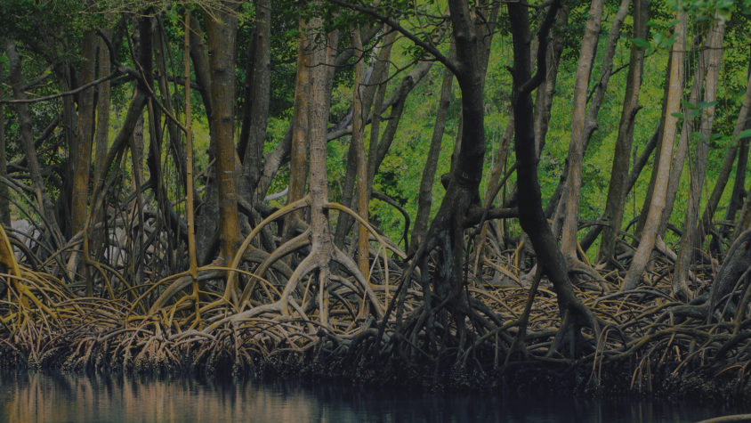
Mapping and Monitoring Mangroves using Google Earth Engine

This workshop is the third in a series offered by SERVIR Amazonia focused on using remote sensing to monitor mangroves in Guyana. Previous workshops have included skill-building on the basics of Synthetic Aperture Radar (SAR), preprocessing SAR data, and using SAR and optical imagery to identify changes in mangrove extent and to map mangrove structure. This workshop builds on these previous topics to guide participants in building a simple application in Google Earth Engine (GEE) that will incorporate both optical and SAR data to map mangrove extent along Guyana’s coast. The workshop was originally led as a virtual training by Abigail Barenblitt, a research scientist at the University of Maryland and NASA’s Goddard Space Flight Center.
Requirements
- Access to a personal computer with internet
- A Google Earth Engine account: https://signup.earthengine.google.com
- A Collect Earth Online account: https://www.collect.earth/
- Microsoft Excel
- Preferred: Google Chrome web browser: https://www.google.com/chrome/
Training materials: The training website with slides, training materials and additional resources can be accessed here.

