
Factsheet: Mekong Regional Land Cover Monitoring System (RLCMS)
SERVIR, RLCMS, and Google Earth Engine
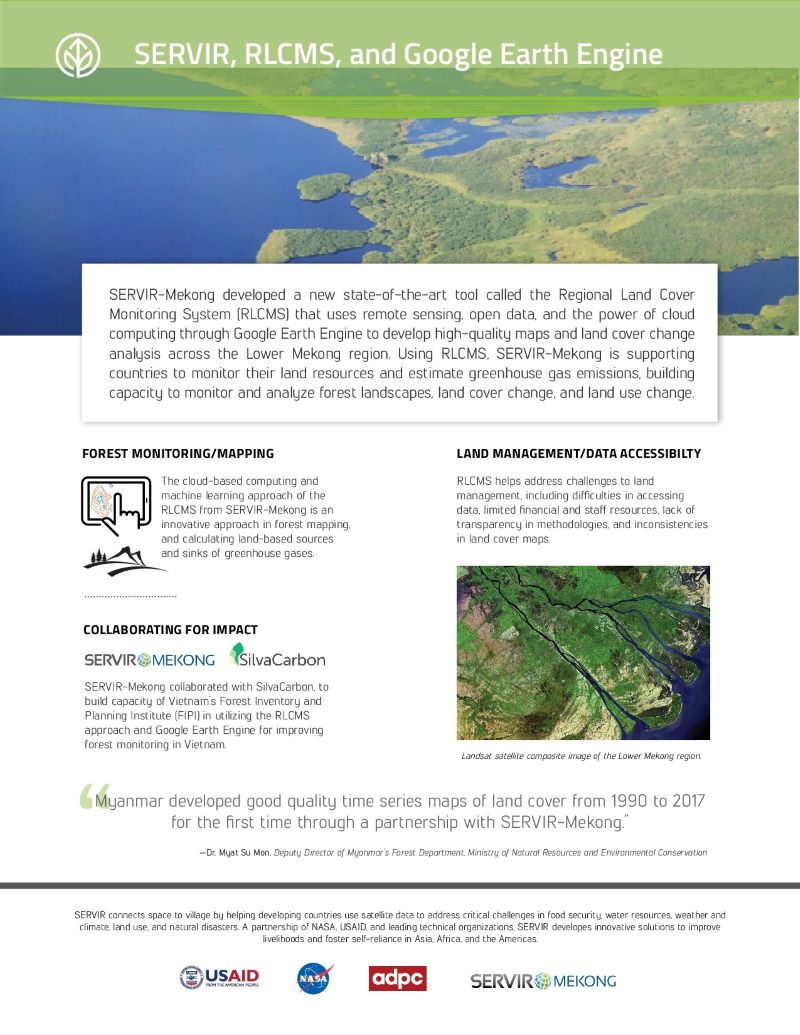
SERVIR-Mekong developed a new state-of-the-art tool called the Regional Land Cover Monitoring System (RLCMS) that uses remote sensing, open data, and the power of cloud computing through Google Earth Engine to develop high-quality maps and land cover change analysis across the Lower Mekong region.