Strategy & Guidance USAID Geospatial Strategy USAID’s 2024-2028 Geospatial Strategy promotes leveraging the power of geospatial data and technology to target the delivery of international programs. November 15, 2023
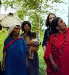
Tool SERVIR Gender Analysis Tool This Gender Analysis Tool provides clear guidance on a foundational step for service design and programming, to contribute to SERVIR’s goals of ensuring that women, along with men, are realizing equal benefits from SERVIR’s geospatial services. March 6, 2023
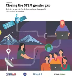
Report Closing the STEM gender gap Training women in Earth observation and geospatial information technology Between 2018 and 2021, SERVIR HKH trained 410 women in “Empowering women in GIT” to bridge the technology and gender gap in the region. Some of the key outcomes of these trainings are summarized in this report. March 7, 2022
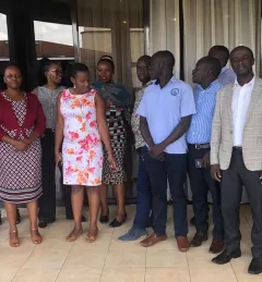
Use Case Use Case: Uganda Directorate of Water Resources Management The Uganda Directorate of Water Resources Management manages and develops Uganda’s water resources in an integrated and sustainable manner. January 20, 2022
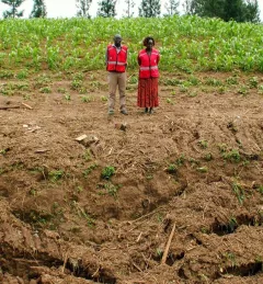
Use Case Use Case: Kenya Ministry of Agriculture, Livestock, Fisheries, and Cooperatives Learn how Kenya’s Ministry of Agriculture, Livestock, Fisheries, and Cooperatives (MoALFC) used the Regional Cropland Assessment and Monitoring Service to improve its yield assessment. November 23, 2021