Strategy & Guidance USAID Geospatial Strategy USAID’s 2024-2028 Geospatial Strategy promotes leveraging the power of geospatial data and technology to target the delivery of international programs. November 15, 2023
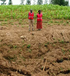
Use Case Use Case: Kenya Ministry of Agriculture, Livestock, Fisheries, and Cooperatives Learn how Kenya’s Ministry of Agriculture, Livestock, Fisheries, and Cooperatives (MoALFC) used the Regional Cropland Assessment and Monitoring Service to improve its yield assessment. November 23, 2021
Report SERVIR Service Planning in Action Case Studies from Demand-Driven Geospatial Services This collection of case studies is a companion to the SERVIR Service Planning Toolkit. It provides concrete examples from SERVIR’s experience, and that of our partners, applying the Service Planning approach. May 5, 2021
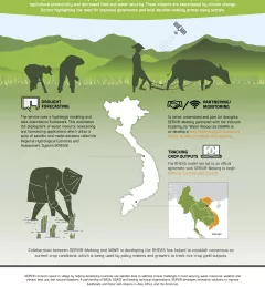
Infographic Enhancing Drought Resilience in Vietnam Droughts in the Lower Mekong region cause significant environmental and economic impacts, including loss in agricultural productivity and decreased food and water security. January 13, 2021
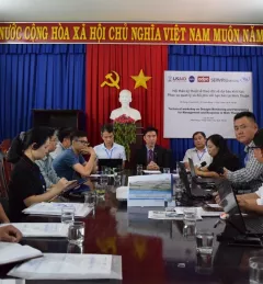
Use Case Use Case: Vietnam Academy for Water Resources VAWR, which operates under Vietnam’s Ministry of Agriculture and Rural Development (MARD), is the leading institute for water resources, research and development within Vietnam. September 22, 2020