Video
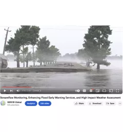
Streamflow Monitoring, Enhancing Flood Early Warning Services, and High Impact Weather Assessment

64 results
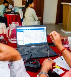
The Climate Resilient Forest Management System in Nepal enhances decision-making at the district level in Nepal by providing more precise and scientific information on climate change vulnerability and degradation of forest ecosystems.
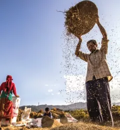
The Food Security Vulnerability Information System of Nepal is a completed service that enabled a diverse set of decision makers to share information about food security through a single system using ICT tools and GIS functionalities.
The Monitoring Extreme Weather in the Hindu Kush Himalaya (HKH) service provides a customized numerical weather prediction toolkit to assess high impact convective weather events over the HKH region.
SERVIR-HKH has developed land cover monitoring systems with a modular architecture built on the Google Earth Engine (GEE) computational platform.
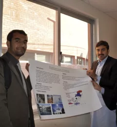
Forty students from major cities and the mountains of Pakistan assembled for a special event in Islamabad, Pakistan, 24-27 November 2014, to learn about the environmental impacts of climate change and about state of the art tools for addressing this issue.
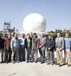
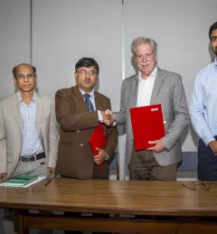
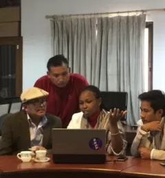
Several NASA representatives visited SERVIR-Himalaya at the International Center for Integrated Mountain Development (ICIMOD) last week to discuss current and prospective areas for collaboration with ICIMOD and view demonstrations of several SERVIR-Himalaya online applications.
Forested areas are important to our planet's health because they take in large amounts of carbon and release oxygen. When forests are removed or degraded, less carbon is taken from the atmosphere, and the result is increased carbon emissions, which may hasten climate change and increase its impact.
SERVIR-Himalaya hosted the first 2015 SERVIR Hub Exchange, 10-13 March 2015, in Kathmandu, Nepal, bringing together SERVIR team members from around the globe.
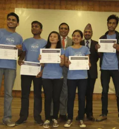
The NASA International Space Apps Challenge is an international mass collaboration engaging developers, Geographic Information System (GIS)-savvy students, engineering students, and entrepreneurs to work together on solving challenges relevant to improving life on Earth and in space.