Blog
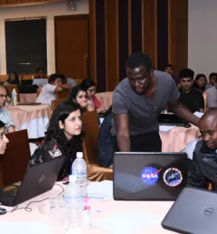
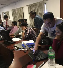
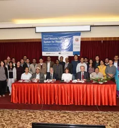
Space Apps Challenge: Global Teamwork for Earth and Space
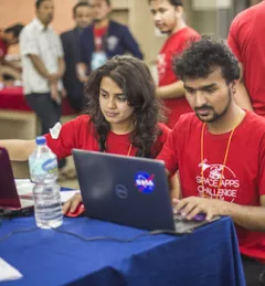
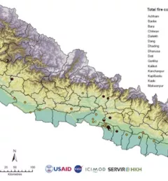
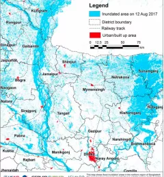
SERVIR hubs joined over 185 other locations in 69 countries across the globe in hosting the 2017 NASA International Space Apps Challenge.