Articles & Stories
Using Earth Observations to account for Greenhouse Gas emissions in Uganda
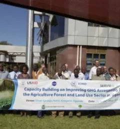
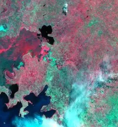
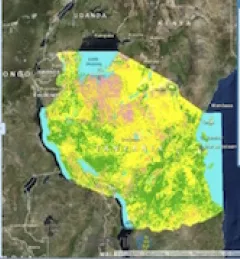
SERVIR has been strongly supporting the use of Earth observation technologies by countries in Eastern and Southern Africa to account for greenhouse gas (GHG) emissions.