Fact Sheet
Fact Sheet: SERVIR West Africa 2
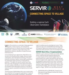
This fact sheet provides and overview SERVIR West Africa phase 2 implementation, which includes a consortium of seven regional institutions in Burkina Faso, Ghana, Niger, Nigeria, Mali and Senegal.