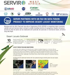
Articles & Stories
SERVIR graduate research assistant maps water in West Africa
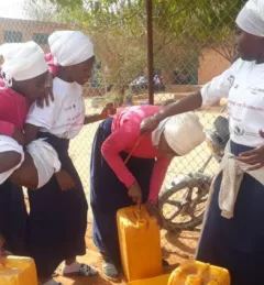
SERVIR graduate research assistant Kelsey Herndon is using Earth observation satellite data to map surface water and its changes in Niger, West Africa.