Tool
SAR Handbook
Comprehensive Methodologies for Forest Monitoring and Biomass Estimation
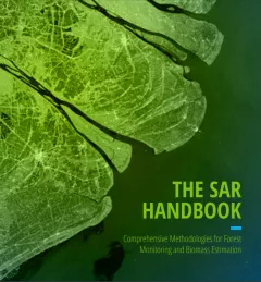
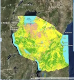
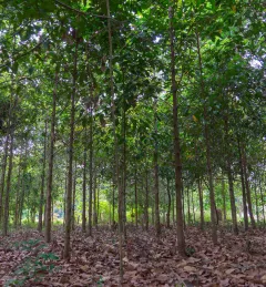
The SAR Handbook: Comprehensive Methodologies for Forest Monitoring and Biomass Estimation is the culmination of a two-year collaboration between NASA SERVIR and SilvaCarbon.