Video
Regional Drought Monitoring and Early Warning System

SERVIR scientists discuss the how the Regional Drought Monitoring and Early Warning System is being used in the Hindu Kush Himalaya region.

18 results
SERVIR scientists discuss the how the Regional Drought Monitoring and Early Warning System is being used in the Hindu Kush Himalaya region.

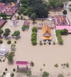
Enhancing Anticipatory Actions for Disaster and Climate Resilience aims to reduce the loss of lives and damage to properties and crops from floods and droughts by improving early warnings using satellite data and geospatial information.
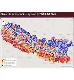
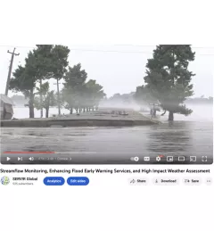
Enhancing Flood Early Warning Services aims to build the resilience of vulnerable communities in the Hindu Kush Himalayan region by increasing flood forecast lead times that are hosted on an interactive web platform.
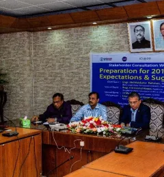
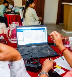
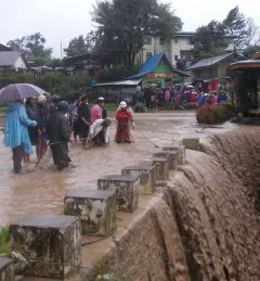
The Nepal DHM is the national agency responsible for monitoring and managing the hydrological resources of Nepal. This Use Case describes how they used the SERVIR Enhancing Flood Early Warning Services (EWS).
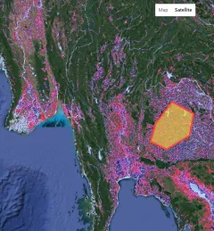
The Monitoring Extreme Weather in the Hindu Kush Himalaya (HKH) service provides a customized numerical weather prediction toolkit to assess high impact convective weather events over the HKH region.
The Supporting Better Riverine and Flash Flood Forecasting for the Lower Mekong service improves riverine flood forecasts and enhances flash flood guidance monitoring in the region.
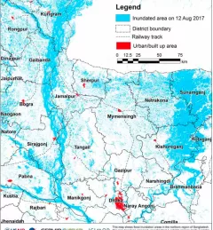
Through the Supporting Flood Emergency Preparedness for Myanmar Service, SERVIR Mekong co-developed and supported the use of a systematic decision-support tool for the Myanmar Department of Disaster Management to identify areas with high flood risk.
The objective of the Supporting Near Real-Time Flood Monitoring in Myanmar Service was to develop a multi-sensor based near real-time flood monitoring tool to support the Myanmar Department of Disaster Management (DDM) in monitoring flood events.
A recent Esri blog features advances made by ICIMOD towards improved disaster management, early warning and response in the Hindu Kush Himalaya region.