Infographic
Frost Monitoring in Kenya
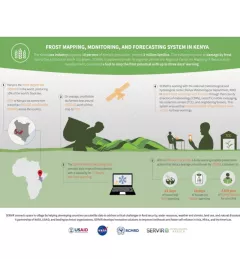
The Kenya tea industry supports 10 percent of Kenya's population, around 3 million families. The industry is prone to damage by frost due to the altitudes in which it is grown.