Blog
Monitoring Land Cover for Resilient Development
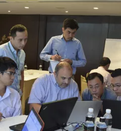
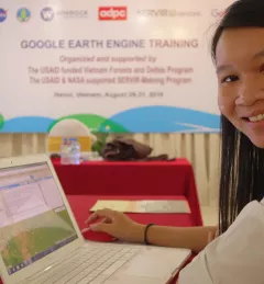
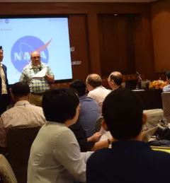
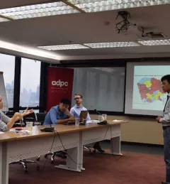
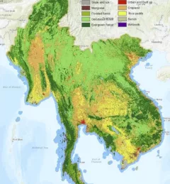
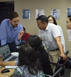
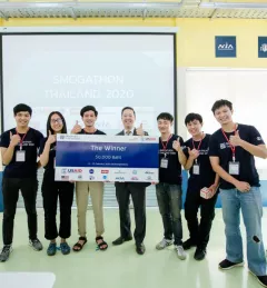
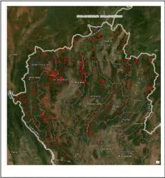
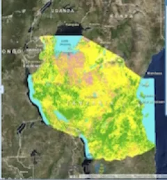
SERVIR-Mekong, along with SilvaCarbon, the US Forest Service and SIG, hosted a Google Earth Engine Training and a second workshop for the Regional Land Cover Monitoring System from 7-14 July 2016.