Blog
Earth Engine Drives Environmental Management in Vietnam

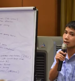
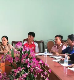
USAID's website features a success story from the SERVIR-Mekong/ADPC partnership with Google to provide training on GEE.

38 results
USAID's website features a success story from the SERVIR-Mekong/ADPC partnership with Google to provide training on GEE.
The forests of Vietnam support the livelihoods of over 24 to 30 million rural people in Vietnam. Deforestation has serious effects on biodiversity, threatening the safety of millions of inhabitants as well as wildlife.
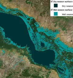
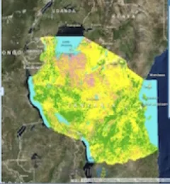
Transboundary water management is a challenge to countries in the Lower Mekong. Surface water distribution changes over space and time and these patterns can provide insight into ecological structure and function, patterns of flooding and flood risk, and the impacts on the landscape, infrastructure, and the people at-risk.
Earth Magazine recently featured an article on SERVIR, highlighting the program and in particular several activities of the SERVIR-Mekong hub, which is based at ADPC in Bangkok, Thailand.
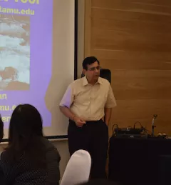
On March 8 to 9 SERVIR-Mekong organized a final workshop for the Small Grants Program, a 10-month program that supported organizations and institutions that use Earth observations to address environmental management challenges in the Mekong Region.
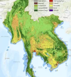
The Mekong Region Land Governance Project (MRLG), funded by the Swiss Agency for Development and Cooperation, featured land cover maps created by the SERVIR-Mekong team in their 2018 Mekong State of Land Report.
To sustainably manage forest landscapes, governments and decision makers need accurate and up-to-date information on the extent of the forests they manage and the ways they are changing.
Vietnam experienced one of its worst droughts in almost a century from 2015 to 2016, affecting over 2 million people in 52 provinces nationwide. Ninh Thuan, a province in south central Vietnam with a population of just over 600,000, was severely affected.

SERVIR hubs are at the forefront in developing high-quality water information, tools, products, and services that enable partner countries to monitor, measure, and report on water resources and changes, and to better predict and manage water-related disasters.
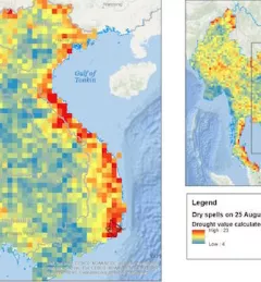
From 2014 to 2016, Vietnam experienced its worst drought in 90 years, with 52 out of the 63 provinces affected. This event and subsequent disasters emphasized the need for a reliable system that can provide forecast information about rainfall and drought.