Articles & Stories
SERVIR Women Scientists Build Resilience Around the World
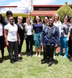
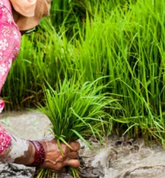
USAID and NASA are supporting women scientists around the world to use science and technology to improve resilience and raise the visibility of women in science.