Articles & Stories
Applied Sciences Team project informs decision makers with fire season forecast
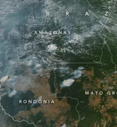
SERVIR AST member Doug Morton discusses the upcoming fire season in Amazonia in a new NASA article.

27 results
SERVIR AST member Doug Morton discusses the upcoming fire season in Amazonia in a new NASA article.
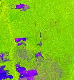
One of the major challenges in monitoring forests is identifying forest degradation processes. Recent years have seen advancements in satellite remote sensing technology, which has in turn revealed changed patterns of illegal deforestation activity in the Amazon rainforest.
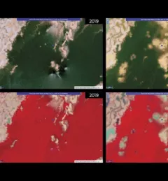
Collecting Earth observations over tropical forests comes with logistical challenges. While protection of these often highly-vulnerable ecosystems is critical to combating climate change, heavy cloud cover and the cost of granular-level data mean that frequent, quality forest cover imagery can be a rare and valuable resource.
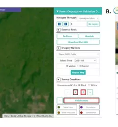
Users of Collect Earth Online (CEO) around the world are taking advantage of a CEO feature called the Geo-Dash Degradation Tool that allows them to monitor forest degradation, a major source of carbon emissions.
Quantifying the Effects of Forest Changes on Provisioning and Regulating Ecosystem Services is a service that allows stakeholders to better understand the tradeoffs between development activities and ecosystem services.
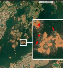
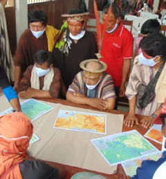
The Monitoring of Gold Mining in the Peruvian Amazon service produces near real-time information on deforestation and mining activity in the southern Peruvian Amazon.
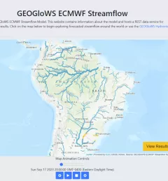
The Improving Resilience and Reducing Risk of Extreme Hydrological Events service provides stakeholders in the Amazon Basin region with improved historical water information and a flood forecasting ability to support greater resiliency to flood disasters.