Articles & Stories
Story Map: SERVIR data supporting biological corridor and endangered gorilla species protection
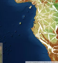
Deforestation and habitat fragmentation in the tropics represent major threats to biodiversity and contribute to carbon emissions.