Blog
ICIMOD Conducts First Training on Google Earth Engine in Nepal
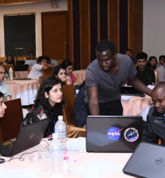
Thirty-eight participants—13 of them women—from Nepal and Kenya, convened for a four-day training workshop in Kathmandu, Nepal, on the Google Earth Engine (GEE) platform.