Strategy & Guidance
USAID Geospatial Strategy

USAID’s 2024-2028 Geospatial Strategy promotes leveraging the power of geospatial data and technology to target the delivery of international programs.

7 results
USAID’s 2024-2028 Geospatial Strategy promotes leveraging the power of geospatial data and technology to target the delivery of international programs.
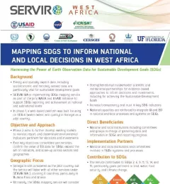
This fact sheet highlights the service, Building a Platform to Track Progress on SDGs and Inform Decisions in Senegal.
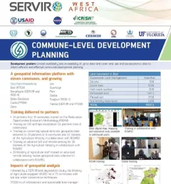
This fact sheet highlights how SERVIR West Africa is supporting sustainable management in Burkina Faso through commune-level development planning.
The Support for Commune-Level Development Planning in Burkina Faso service is developing an information platform for monitoring of the physical occupation, land use, land cover, and spatial data infrastructure of commune-level administrative areas in Burkina Faso to support decision making related to sustainable management.

SERVIR improves local and regional capacity to provide tools, products, and services that empower decision makers to better address critical issues related to food security, water resources, natural disasters, land use, and extreme weather. Building on thirteen years of experience, SERVIR has grown in its geographical reach and has adapted its approach based on lessons learned.
This service addresses the need for reliable data for monitoring and reporting on the Sustainable Development Goals (SDGs) in Africa, to inform decisions and investments at national
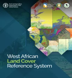
This service is the outcome of a discussion held during the 2018 West Africa Regional Conference on Land Cover Land Use, at which SERVIR West Africa established the West Africa Land Cover Task Force.