Blog
SERVIR Community Gathers in Nepal for 2nd Annual Global Exchange
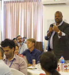
From October 24-28, 2016, SERVIR team members from around the globe met in Pokhara, Nepal, for the 2nd SERVIR Annual Global Exchange (SAGE).