Articles & Stories
Why space is the next frontier in the fight for Niger's water
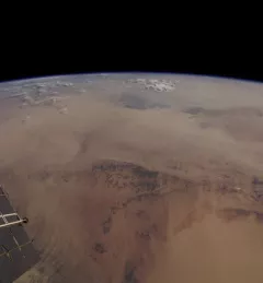
Drought is threatening the lives of millions of farmers in Niger. With NASA’s help, we’re pioneering a new approach—hundreds of miles above the planet.