Infographic
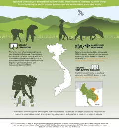
Enhancing Drought Resilience in Vietnam
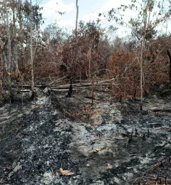
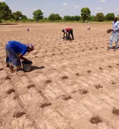
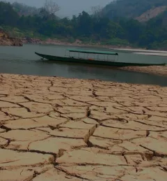
Droughts in the Lower Mekong region cause significant environmental and economic impacts, including loss in agricultural productivity and decreased food and water security.